As an Amazon Associate I earn from qualifying purchases.
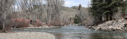
On Colorado’s Los Pinos River, the walk deserves as much planning as the fishing. From the Pine River trailhead above Vallecito Reservoir, public river access starts about three miles up the trail. You need time to get there, fish, and walk back.
My Colorado fishing trips have taken me to rivers, smaller streams, and lakes. For Los Pinos River fly fishing, I’d start by choosing between the upper backcountry river and a lower stretch where you have confirmed permission. That decision changes the walking, regulations, and flow information you need.
Locally called the Pine, this is the river above and below Vallecito Reservoir near Bayfield. Below, I cover the public-water approach, a small fly selection, and the differences between wilderness and Tribal fishing rules. You can compare other options in our Colorado rivers guide or browse our U.S. river guides for a wider trip.
Current Forest Conditions: The San Juan National Forest conditions report describes widespread flood damage to roads and trails following the October storms and encourages people to avoid forest travel where possible. Check the latest notice before committing to the upper-river hike. An open road listing does not confirm that the trail or its crossings have been assessed.
Quick Answer: For Los Pinos River fly fishing in Colorado, allow for a three-mile walk each way to reach public water above Vallecito Reservoir. Below the reservoir, confirm land access and any Tribal permit first. Summer into early fall is a common upper-river window, with current road, trail, and water conditions checked before travel.
Other Rivers In Colorado
- Arkansas River
- Animas River
- Colorado River
- Frying Pan River
- Gunnison River
- Rio Grande In Colorado
- Roaring Fork River
- South Platte River
- Cache La Poudre River
- Eagle River
- Taylor River
- Yampa River
- North Platte River
- Conejos River
- Dolores River
- Big Thompson River
- White River
- San Miguel River
- Elk River
- Crystal River
- Fraser River
- Williams Fork River
- Lake Fork Of The Gunnison River
- Michigan River
- East River
Allow For The Walk To Public Water
The upper Pine makes sense when you want a walking trip and have enough time to fish after the approach. If you only have a short gap in the afternoon, the initial hike can use much of it. Decide how much daylight and energy you can give the outing before loading the car.
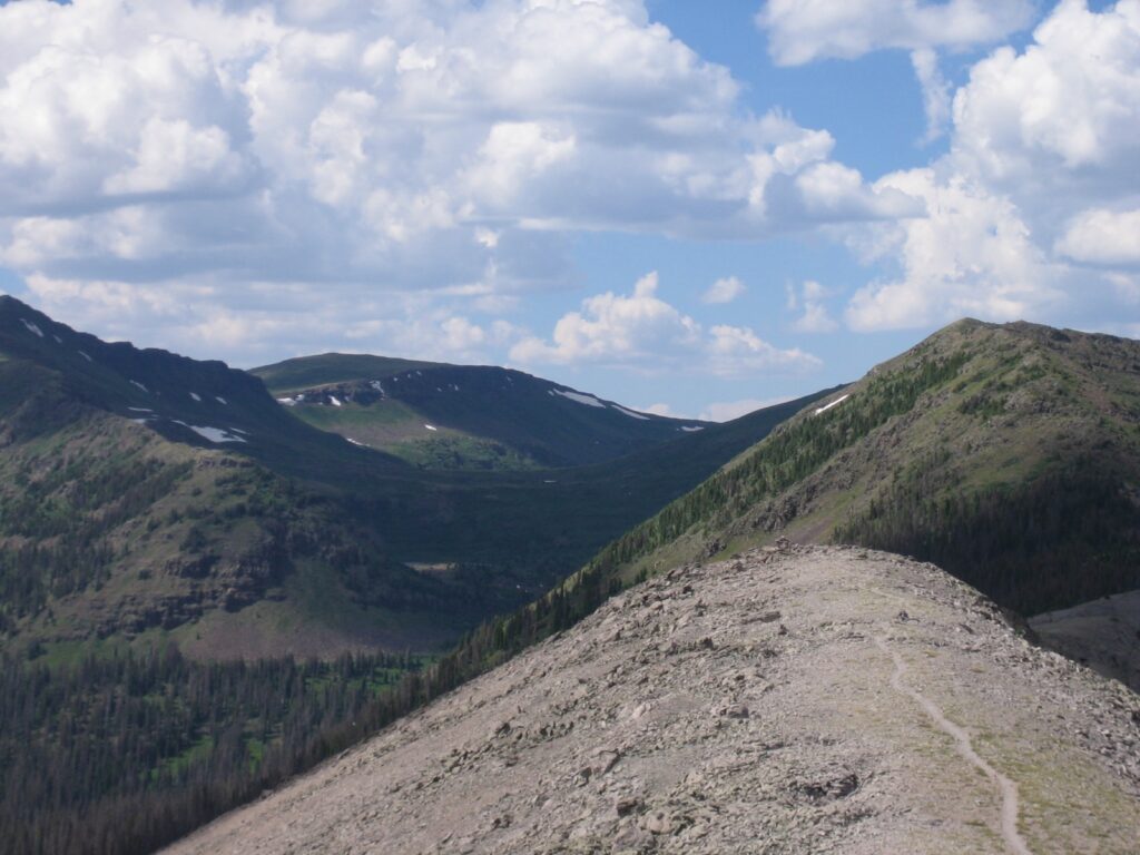
The Pine River Campground information states that private land adjoins the campground and there is no public river access until three miles up the trail. Seeing water beside the route does not give you permission to leave the trail and fish it.
Stay On The Trail Through Private Land
Stay on the Pine River Trail through the private corridor and respect the posted boundaries. Do not cut down to the bank because you can see a pool, or assume a campground booking includes fishing access through neighboring property. The approach and the public fishing water are separate parts of the trip.
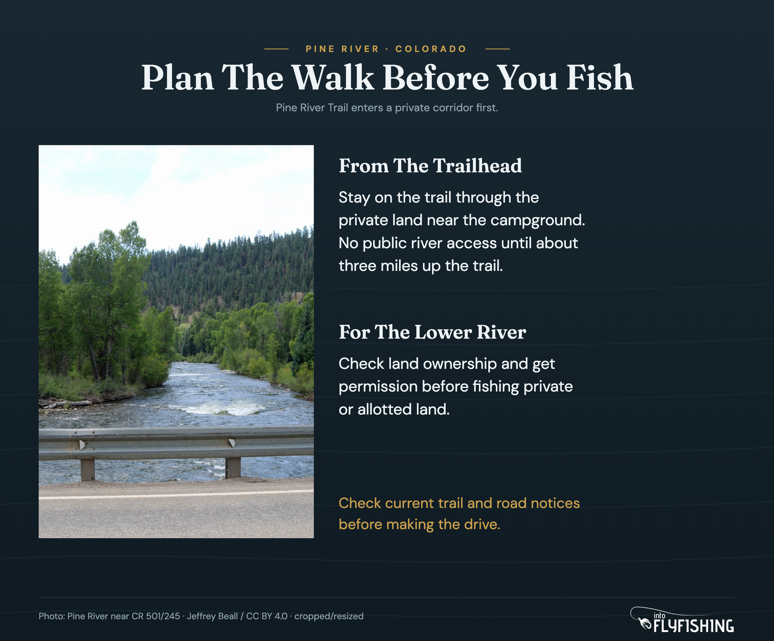
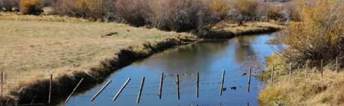
Once you reach public water, choose a stretch you can approach without forcing a crossing or scrambling down ground you cannot comfortably climb back up. The upper river includes meadow stretches and canyon pockets, so the amount of room beside the water changes as you walk.
Plan The Return Before You Start Fishing
Three miles to the public-water boundary means roughly six miles out and back before adding any extra exploring. Set a turnaround point that leaves room for the return. You do not need to push farther upstream simply because there is more river on the map.
When conditions allow a trip, I’d fish a manageable piece of the first public water carefully. Watch a pocket or run before casting, work the reachable water, and move on when you have covered it. Carry enough food and water for the walk as well as the fishing time.
Confirm Access And Rules For Your Reach
Vallecito Reservoir separates the upper backcountry river from the lower Pine. Below the reservoir, private property and the Southern Ute Reservation make access planning a different job. A roadside view or a line on a fishing map is not enough to establish a place to enter.
Choose a specific reach, check the land status, and confirm how you can reach the water legally. If you are arranging a guided trip or permission through a landowner, settle the meeting point and access arrangements before traveling. Avoid treating the entire lower river as one continuous public bank.
Check Land Ownership And Tribal Permissions
The Southern Ute fishing page explains the permit requirements for designated Tribal waters. Its stream regulations also require permission for private property, including allotted land, and warn that private property is not always posted.
Keep those two checks separate: the permit governs fishing on designated Tribal water, while permission governs entry onto private land. Confirm both where they apply. Use the entry and exit points identified on the Tribal maps and stay within the permitted stream corridor. The Tribe’s current storm and road notices are another reason to check your planned route before heading toward the lower river.
Check The Upper Wilderness Rule Too
For the Los Pinos River in Hinsdale and La Plata Counties, Colorado’s fishing regulations name a specific upper reach: from the headwaters downstream to the Weminuche Wilderness boundary. Fishing there is by artificial flies and lures only, with a trout bag and possession limit of two fish.
Use that named boundary when you check the rule. Do not turn it into a rule for every stretch below Vallecito, and do not describe the whole river as catch-and-release. Other waters with similar Los Pinos names also appear in regulations, so check the counties and reach description as well as the river name.
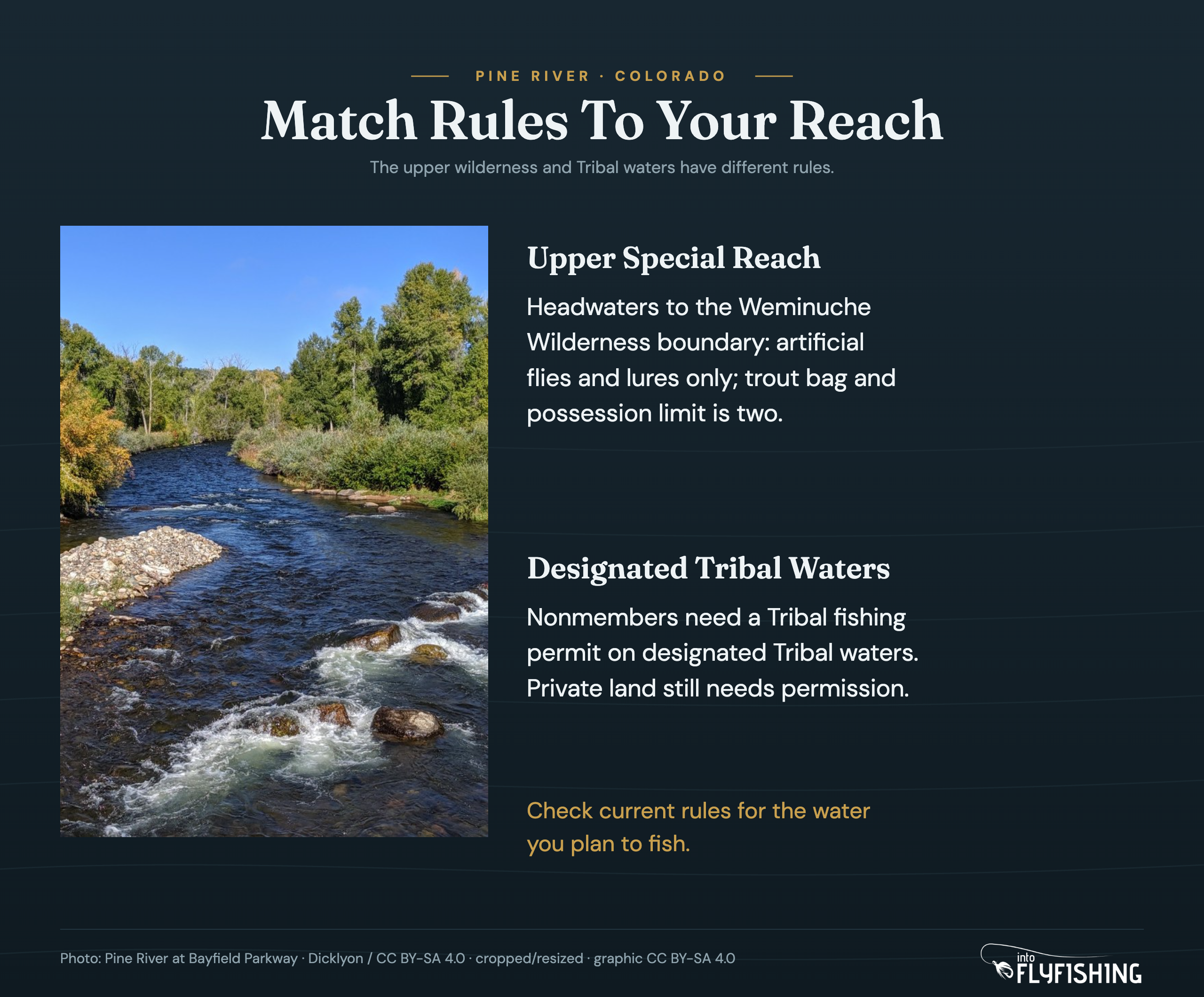
On designated Tribal waters, nonmembers need a Tribal fishing permit. The Tribe states that a Colorado fishing license is not required on those Tribal waters but is required for fishing on private property. Private or allotted land still requires the owner’s permission. Read the current Tribal regulations for the exact water you plan to fish.
Carry A Small Selection Of Dries And Nymphs
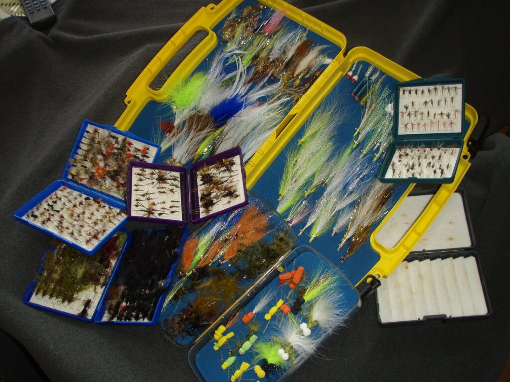
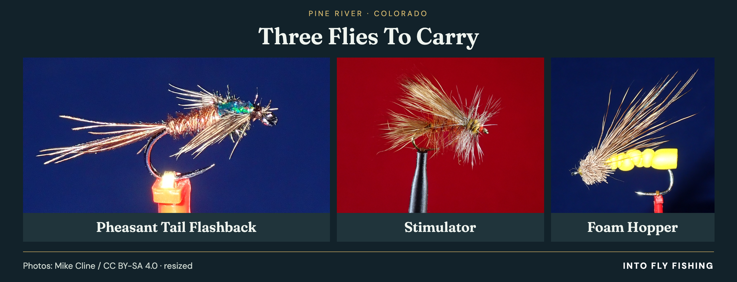
Caddis, mayfly, and terrestrial patterns belong in a summer Pine River selection. Hoppers, Stimulators, and Pheasant Tail nymphs give you useful starting options without filling a pack with fly boxes. Check the insects and fish you can actually see before deciding what to tie on.
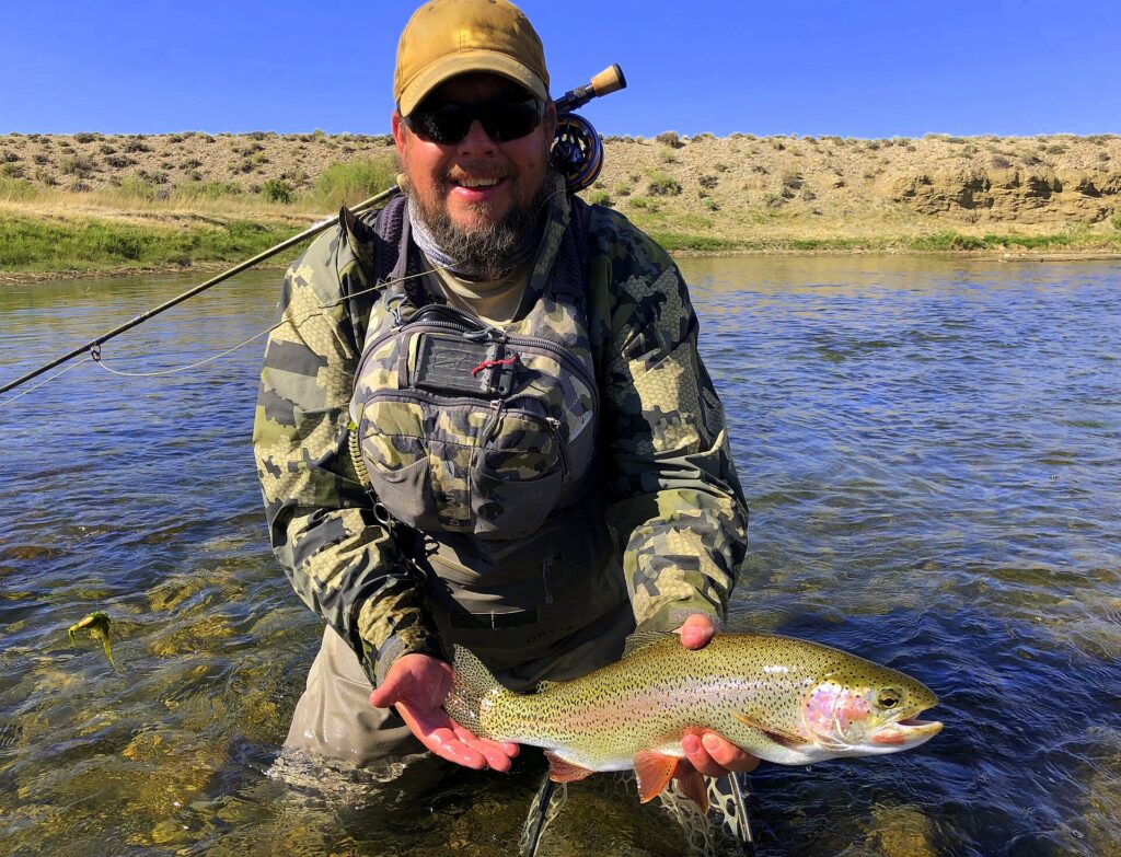
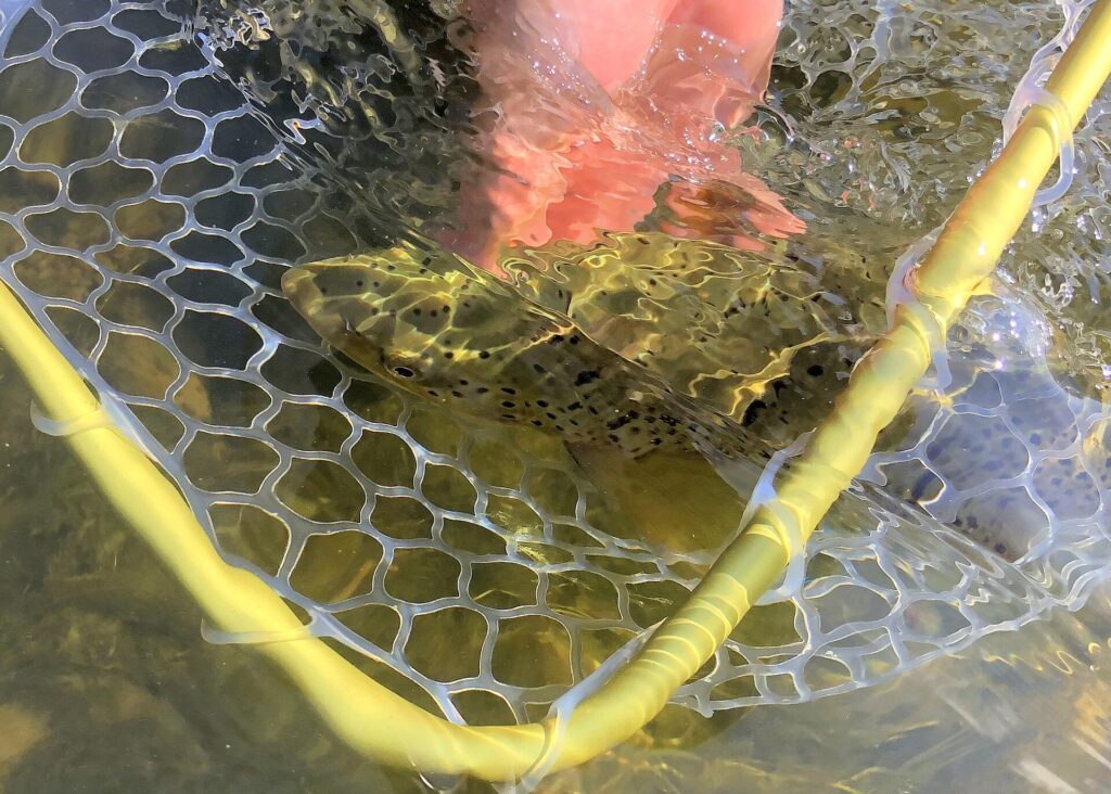
Brown and rainbow trout occur in the upper fishery. Give the presentation some attention before swapping patterns repeatedly: where the fly lands, how much line lies across the current, and whether the drift reaches the water you meant to fish.
Start With A Hopper Or Stimulator
For a summer outing, carry a few hopper patterns alongside Stimulators. Prospect with an attractor dry when you have no obvious hatch to match, then shorten the cast if the line starts pulling the fly across the surface. A controlled drift through reachable water is more useful than a long cast you cannot manage.
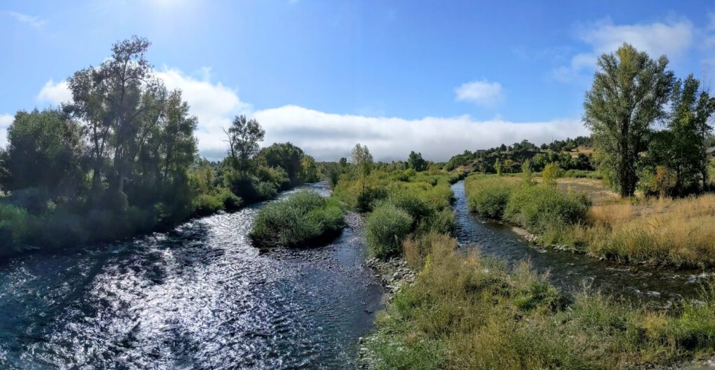
Meadow water and broken pockets call for different approaches. Watch smoother water for rises before walking straight to the edge. Around pockets, start close and keep unnecessary line off the conflicting currents. Move your position when you can do so safely instead of trying to solve every drift with a longer cast.
Use A Pheasant Tail Below The Surface
A Pheasant Tail is a useful subsurface option when a dry fly is not getting attention. Adjust the presentation so the nymph reaches the water you are trying to cover. Check the rig after a snag, and keep hooks and split shot away from your face when changing position or freeing the line.

Our Pheasant Tail tying video shows the pattern before you put it in the box. For a subsurface rig, SF fluorocarbon tippet is one option; match the diameter to your fly and rig. You do not need to buy a particular brand to fish this river.
Keep Your Walking Kit Manageable
Take a trout rod you can cast comfortably and carry without leaving the tip exposed along the trail. Our trout fly rod guide can help if you are choosing a setup. Pack a few spare leaders, nippers, and the flies you expect to use rather than bringing every piece of tackle you own.
A slim SF fly box is one way to keep that selection together. Leave room for rain layers and the supplies you need for the return walk. If you choose to carry Frogg Toggs Canyon II stockingfoot waders, remember that they need separate boots and add weight to the pack. Waders do not make high water safe.
Match The Season And Flow Report To Your Reach
Summer into early fall is a common planning window for the upper Pine, subject to runoff, weather, and actual access. Use that as a starting point for choosing a trip, then check conditions close to departure. A seasonal recommendation cannot tell you whether a particular road or trail is usable today.
The current Forest Service storm notice deserves priority over an older fishing report. Recheck the road and trail information together, and leave the upper outing for another day if the approach is uncertain. Getting to a trailhead does not establish that the rest of the route is passable.
Separate The Upper River From Dam Releases
Above Vallecito, look for observations that describe the upper Pine. Below the dam, check the release information and the downstream reach you intend to fish. The Pine River Irrigation District’s storm update explains that tributaries can make flows at Ignacio higher than the reservoir release.
Read the station name and observation time before using a flow number. A reading near Ignacio cannot describe the wilderness river above the reservoir, and a historic gauge record is not a current release report. Neither a discharge number nor a clear-looking photograph establishes that a crossing is safe.
Public river fishing begins about three miles up the trail beyond the private corridor near Pine River Campground. Stay on the trail through private land and check current Forest Service road and trail notices before traveling. Allow for the walk back as well as the approach.
This guide covers Colorado’s Pine River above and below Vallecito Reservoir near Bayfield. Check that maps and fishing reports describe that river; some search results cover the separate Rio de Los Pinos near Ortiz instead.
Hoppers and Stimulators are dry-fly options, with Pheasant Tail nymphs for subsurface fishing. Caddis, mayflies, and terrestrials are useful summer fly families to consider. Match the presentation to the water and insects you observe.
Do not apply a catch-and-release label to the entire river. The upper reach from the headwaters to the Weminuche Wilderness boundary allows artificial flies and lures only and has a trout bag and possession limit of two. Check separate Tribal rules and access requirements for designated Tribal waters.
Give The Upper Pine Enough Time
I’d choose the upper Pine when I have time for a full walking outing and can leave plenty of time beside the river. Once access conditions allow it, keep the first plan modest: reach public water, fish a stretch you can manage, and start the return before you feel rushed.
For a lower-river day, confirm the actual access arrangement first and build the rest of the trip around it. Both plans can involve trout fishing, but the permissions and water conditions need to match the reach you chose. Our Colorado fly fishing guide offers more options if the Pine does not fit your available time or current conditions. For another southwest Colorado trip, compare the Animas and Dolores guides, with their own access and water checks.
Save This Los Pinos River Guide For Later


First pin: Photo: Dicklyon / CC BY-SA 4.0; cropped and text added; pin CC BY-SA 4.0. Second pin: Photo: Jeffrey Beall / CC BY 4.0; cropped and text added.
Amazon and the Amazon logo are trademarks of Amazon.com, Inc, or its affiliates.
As a part of the Amazon Associates Program and other affiliate programs, Into Fly Fishing® may receive a comission if you order products through links on this website.