As an Amazon Associate I earn from qualifying purchases.
California Fishing Guide
Fly Fishing Rivers
In California
Choose from 28 rivers and creeks, with regional access, trout and steelhead tactics, and practical advice for the season you want to fish.
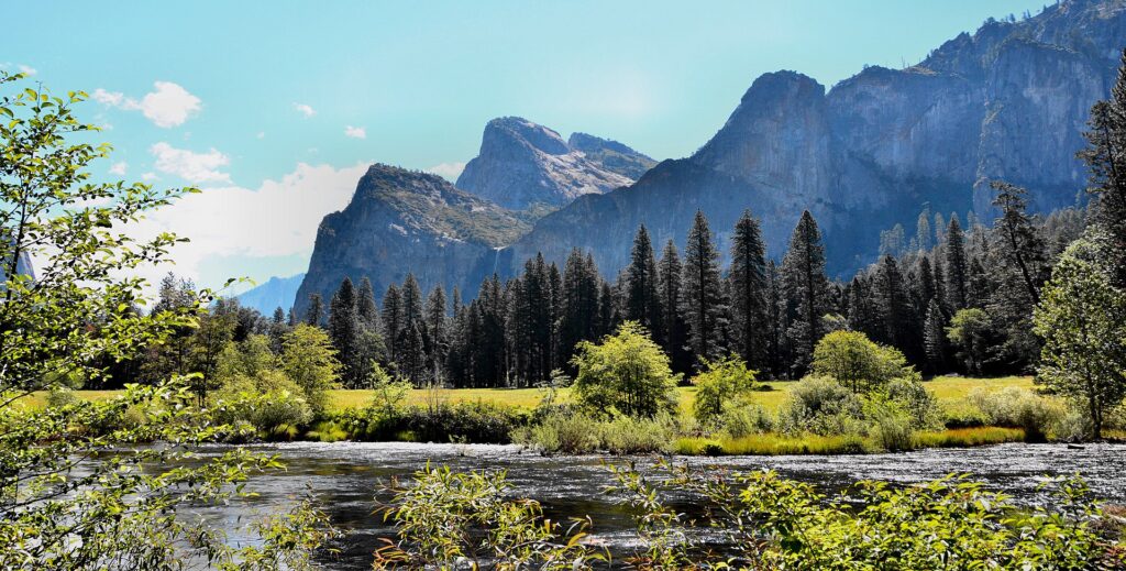
Merced River in Yosemite Valley. Photo: Mike McBey / Wikimedia Commons, CC BY 2.0. Resized for display.
California gives you very different river trips within one state. You can work pocket water near Dunsmuir, watch for rising trout on Hat Creek, swing for North Coast steelhead, or plan a carp session in Los Angeles. Choose the fishing you want first, then narrow the region.
I grew up fishing in Connecticut and have spent years on the Farmington. I like having time to learn a stretch rather than spending the day driving between names on a map. For California, use the regional groups below to choose one main river and a nearby alternative.
These 28 rivers and creeks cover a range of trips, from accessible park approaches to demanding canyon water. Each profile identifies the reach being discussed, because a lower tailwater, an upper fork, and a river mouth can have very different access and fishing rules.
Where To Begin: Consider the Upper Sacramento for a trout trip on foot, Hat Creek for hatch-focused fishing, the Lower Owens for cooler-season nymphing, or the Smith for a flexible winter steelhead trip. Fall River is a different choice when you can arrange a suitable boat.
Choose Your California Fishing Trip
Start with the type of fishing and the time you have. These examples give you a manageable first selection; the profiles below explain the access and limits.
Water
Consider It For
Plan Around
Shasta And Lassen
Upper Sacramento River
The Upper Sacramento is the choice for a trout trip on foot around Dunsmuir. It has rainbow trout and a succession of riffles, boulders, pockets, and pools, giving you plenty of reason to change your presentation as you move. It feels very different from a day drifting the large Lower Sacramento.
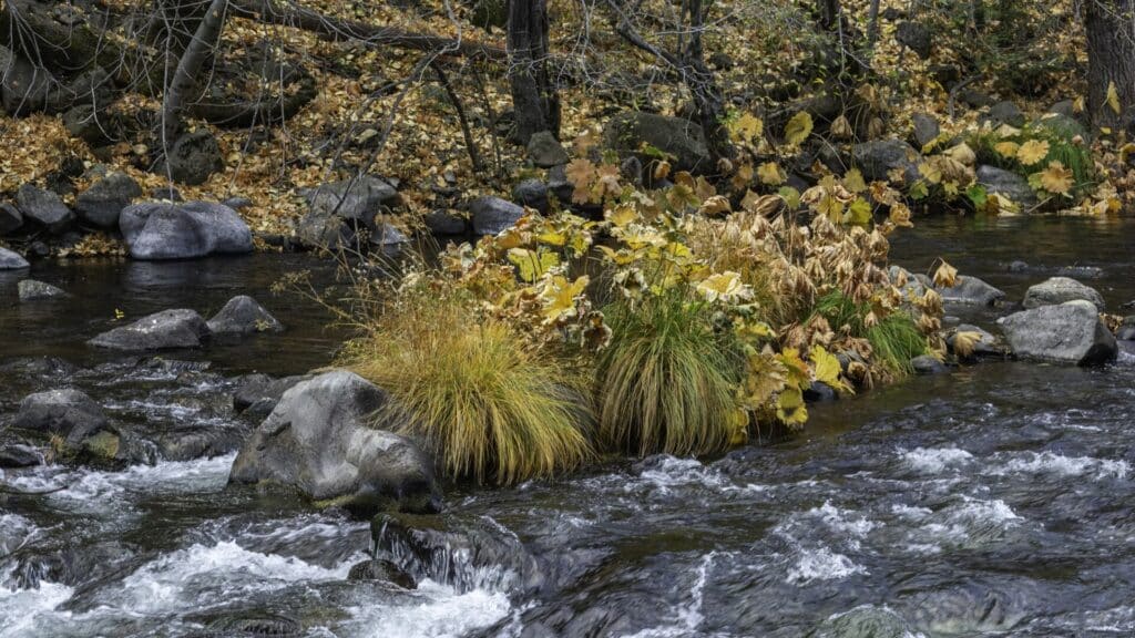
Dunsmuir City Park is a straightforward public starting point. The parks district identifies fishing access beside the Upper Sacramento, along with picnic facilities and restrooms. Start from the park’s designated approach instead of following the railroad tracks to reach a pool farther away.
Nymph fishing is a dependable method to learn here. Keep the presentation short enough to control around the boulders and concentrate on getting the fly through the holding water. High-sticking and Euro nymphing help you manage that short drift. Adjust depth so the flies reach the feeding water without continually dragging along the bottom.
If you are comparing clothing for a cool-water trip, the Frogg Toggs Canyon II stockingfoot waders are one option to consider. Check fit and choose compatible wading boots separately. Our wader guide explains the broader choices; neither waders nor boots turn difficult water into a sensible crossing.
Cold-season trips can still offer worthwhile fishing when the river is in shape. Work the slower water and deeper pools, with more attention to the warmer part of the day. Rain and runoff can change the river quickly, so treat a promising calendar date as a starting point and the actual water as the deciding factor.
Shasta And Lassen
McCloud River
The lower McCloud is a strong choice for an autumn trout trip, with rainbow and brown trout and a well-established October Caddis hatch. That gives you a useful reason to choose this river: bring caddis patterns and allow time for evening fishing, instead of treating it as another stop on a long driving route.
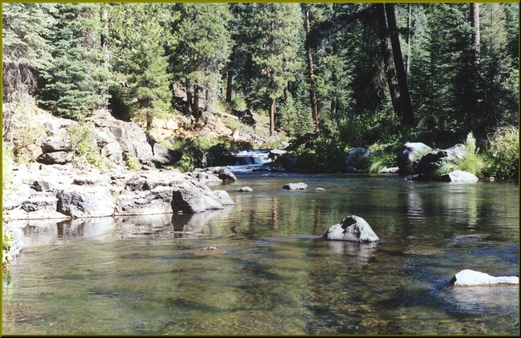
Ah-Di-Na is one of the access routes below McCloud Reservoir. The approach road is rough and rocky in places, and rain or snow can change the drive considerably. Check the Forest Service’s road and site notices before committing a vehicle to it.
Farther downstream, The Nature Conservancy’s McCloud River Preserve has its own fishing arrangements. Its season runs from the last Saturday in April through November 15, with ten anglers allowed at one time. Five tags can be reserved online and five are available first come, first served.
Reserve through the preserve if that is the water you want to fish, then follow its catch-and-release and single-barbless-hook requirements. The tag, the road conditions, and your fishing time all matter here. Arriving without checking the first two can undo an otherwise well-planned day.
Shasta And Lassen
Hat Creek
Choose the lower wild-trout stretch of Hat Creek if you want to plan a session around hatches. The section from Powerhouse No. 2 to Lake Britton is the water discussed here. Upstream Hat Creek offers a different setting, so make sure the access point you choose matches the fishing you have in mind.
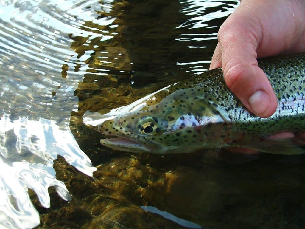
Hat Creek Park, off Highway 299 at the bridge, is one named access to investigate. It gives you a more useful starting point than simply navigating to Hat Creek on a map. Check the posted boundaries and take time to watch the water before choosing where to cast.
In summer, trico mayflies in the morning and caddis in the evening provide two distinct opportunities. Carry patterns for both, then match what you see. An early start and a return near dusk can make more sense than expecting the same surface activity throughout the middle of the day.
Keep the small dries and nymphs organized in a compact box such as the SF slim fly box. Its slim format is a practical choice for small patterns, rather than bulky streamers.
The wild-trout reach has special fishing rules. Check the current CDFW map for the Powerhouse No. 2 to Lake Britton section rather than applying a general trout limit or an upstream Hat Creek description. That reach distinction matters as much as having the right fly.
Shasta And Lassen
Fall River
Fall River suits an angler who wants spring-fed trout water and is prepared to arrange a boat. The limited public access is central to the trip: this is not a river where you should expect to park anywhere and follow the bank until you find a vacant pool.
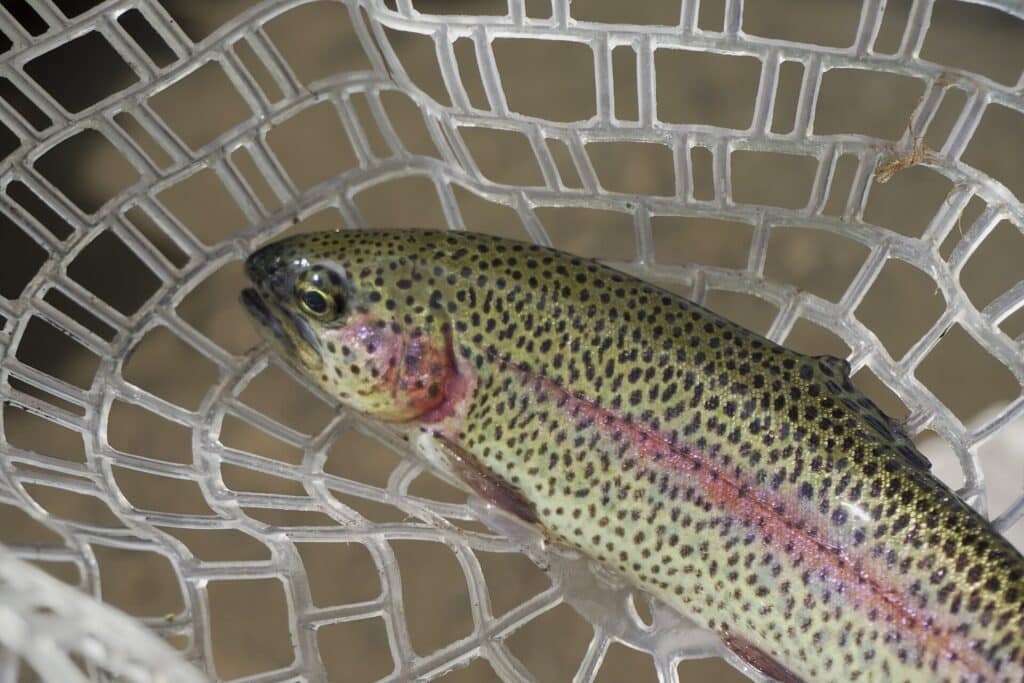
The CalTrout access near Island Road Bridge is the starting point to investigate for a small pram or other suitable craft. Confirm current launch terms before traveling, including the restriction on gas motors through this access.
For dry-fly fishing, the Hexagenia hatch gives June and early July particular appeal. The hatch occurs around dusk, with timing varying along the river. Leave room in your day for that late session rather than planning to be packed up before evening.
Arrange the launch and your return before concentrating on flies. A guide or an operator who knows the access can be a sensible investment here, especially if you do not already have an appropriate boat. The public entry is limited, but it can lead to a very different trout-fishing experience from the nearby pocket-water rivers.
Shasta And Lassen
Pit River
The Pit is a demanding choice for trout in rugged canyon water. Slick rocks and awkward footing make it better suited to an experienced wader or an angler booking a guided first visit. Choose it because you want to work pocket water carefully, rather than because it looks like an easy alternative to a crowded stream.
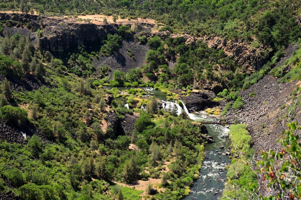
Short-line, high-stick nymphing is a useful starting method. Keep only enough line out to control the drift through a pocket or along its edge. Work the water you can reach from a stable position before considering a move.
A wading staff deserves a place in your kit here. Waders keep you dry within their limits, but they do not solve the footing or make a crossing sensible. If the next piece of water requires a step you cannot comfortably reverse, leave it for another approach.
The Pit 3, 4, and 5 sections have their own approaches and flow considerations. Select a named access on the current PG&E recreation information and check the corresponding release information. A broad Pit River destination pin, including one farther upstream near Alturas, will not necessarily bring you to this canyon trout water.
Sacramento Valley And Foothills
Lower Sacramento River
The Lower Sacramento is a good place to start if rainbow trout and nymph fishing matter more to you than a small mountain stream. Around Redding, this is a large tailwater fishery with opportunities across the seasons. Give it enough time to learn a few productive drifts instead of trying to cover the river in an afternoon.
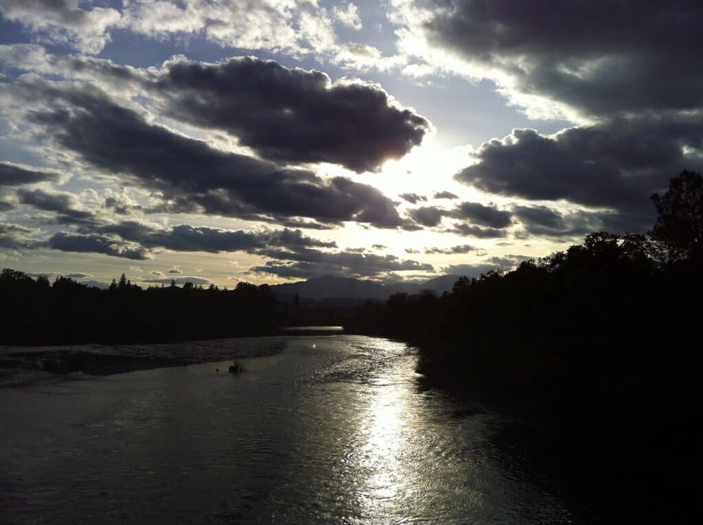
Indicator nymphing is the practical starting method here. Pack a nymph box and be prepared to work below the surface. A guided float is worth considering for a first visit if you want help finding holding water and managing the drift.
For a public starting point, Redding’s Nur Pon Open Space sits just south of Cypress Bridge. Use the city’s access information to plan your approach, and distinguish it from the river farther upstream around Sundial Bridge.
The important catch is that year-round fishing opportunities do not mean every stretch stays open. The upper reach between Keswick Dam and Highway 44 has a seasonal closure. Locate your intended stretch on the current CDFW regulations map before settling on dates, particularly for a spring or summer trip.
Sacramento Valley And Foothills
Lower Yuba River
The Lower Yuba below Englebright Dam suits an angler who enjoys changing presentations. Riffles, willow-lined runs, pools, and flatter water require more than one approach, so give a chosen section time instead of expecting the entire river to fish like the first run you see.
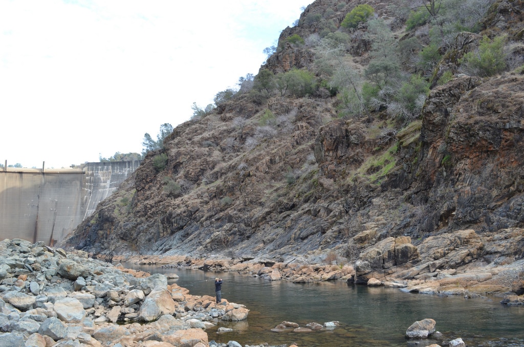
Hammon Grove Park is an established access option. Start with its current park information, then decide how much water you can reasonably cover on foot. A public entry helps you reach the river; it does not make every bank or crossing beyond it suitable for your day.
For dry-fly fishing, May and June offer a useful Pale Morning Dun planning window. Watch the feeding lanes before tying on a fly. When fish are taking from the surface, a well-placed drift through that lane is a better starting point than repeatedly casting over the entire flat.
For small-trout nymph rigs, the SF 3X, 4X, and 5X fluorocarbon tippet selection gives you several diameters to compare with your fly and leader. This is a trout-kit option, not a leader recommendation for California steelhead or carp.
Bring nymphs as a backup and keep the different water types in mind as you move. You may spend one part of the day working a run below the surface and another watching a slow flat. Match the current CDFW rule to your exact stretch below the dam before settling on the trip.
Sacramento Valley And Foothills
American River
The Lower American brings steelhead fishing into the Sacramento area, with the river below Nimbus Dam also supporting seasonal shad and striped bass opportunities. Decide which fish you want to pursue before choosing a date and tackle. A winter steelhead outing and a spring shad trip are different plans on the same river.
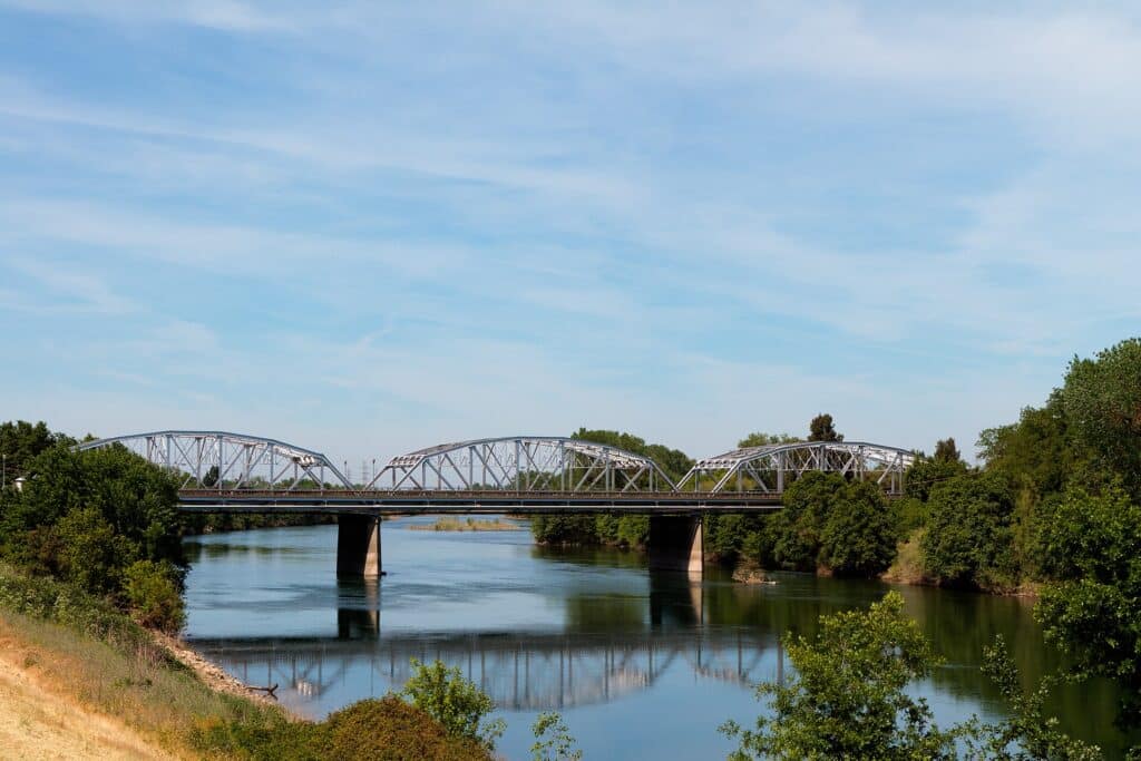
The American River Parkway gives you several public places to investigate. Sailor Bar in Fair Oaks is one concrete starting point: California State Parks lists the Illinois Avenue facility as a public launch on the American. Use the county’s park information to confirm the approach and facilities for your visit.
For steelhead, both swinging flies and nymphing are established methods. Give yourself enough room to work a run without crowding another angler. A drift boat can connect separate pieces of water, but a launch listing by itself does not establish a suitable float for your boat or experience.
The important seasonal distinction is between a river that offers fishing across the year and an individual reach that may close to protect spawning fish. Check CDFW’s map for the stretch below Nimbus that you intend to fish. Do not use a general American River description as permission to fish the uppermost water.
Sacramento Valley And Foothills
Feather River
For this guide, focus on the Feather below Oroville rather than the distant North Fork canyon. The lower river’s steelhead fishing gives you a different trip from the small-stream trout water farther upstream, and the low-flow section is a useful place to begin your planning.
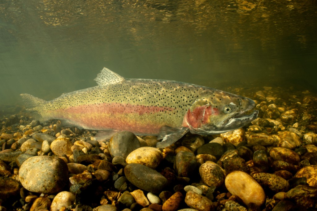
The Thermalito Afterbay divides the commonly described low-flow and high-flow sections. The upper, low-flow water can be approached on foot or with a boat. The Oroville Wildlife Area is one access corridor to investigate, using its official boundaries rather than assuming all of the riverbank is public.
Swinging flies is an established approach here, with a boat sometimes used to move between runs. Egg patterns and bead-head nymphs give you another presentation to consider during the autumn period. Choose the method you want to learn and find water where you can fish it properly instead of changing rigs after every quiet cast.
Autumn is a useful season to discuss with a local steelhead guide, but salmon and steelhead rules are separate. The presence of spawning salmon does not establish an open salmon fishery. Confirm the current low-flow reach regulations and any spawning-area restrictions before fishing near Oroville.
Sacramento Valley And Foothills
Putah Creek
For Putah Creek trout, focus on the tailwater between Monticello Dam and Lake Solano. Highway 128 follows this section, making it a practical place to plan a short outing from a mapped access. Other photographs and place names along Putah can refer to water well outside this trout reach.
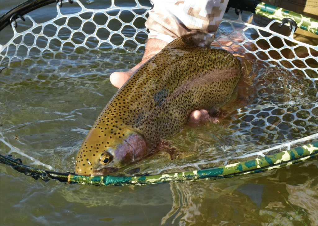
Putah Creek Council maps the numbered fishing-access sites along the highway, including Site 1. Choose your entry from that map and check the current site notices. This lets you plan a specific walk instead of stopping at an unmarked roadside gap.
Small mayfly and midge imitations are useful starting patterns. Carry a compact selection, watch the water, and give the fly a clean drift before changing it. The challenge is often making a small offering behave naturally rather than finding an elaborate pattern.
Putah Creek Trout asks anglers to avoid spawning beds and actively spawning fish from November through April. Treat that as a conservation request distinct from a legal closure. Give spawning fish and the gravel around them room, and use the current CDFW special regulations for the actual fishing requirements.
North Coast And Trinity
Smith River
The Smith is an undammed North Coast river system and a compelling winter steelhead choice. For a first mainstem trip, focus your planning on the river from Hiouchi downstream toward Highway 101 rather than trying to combine its forks and lower river in one day.
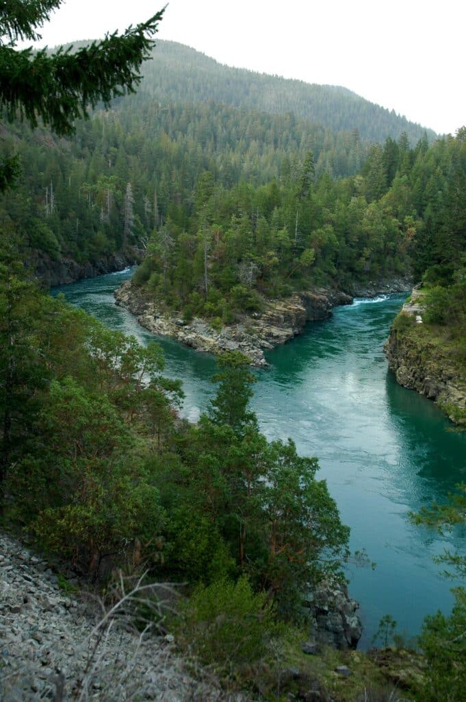
January and February are useful months to consider. Rain and river level still determine which days make sense, so leave room to move the fishing date within your trip. A fixed winter booking does not guarantee fishable water.
For a named public approach, start with Jedediah Smith Redwoods State Park on Highway 199 near Hiouchi. The park provides river access and day use from sunrise to sunset. Check its current road and site notices, then choose a suitable bank position; river access does not mean every spot has room to cast.
Check CDFW’s current North Coast low-flow status as well as the usual regulations before leaving. Low water can close a reach even during the season you associate with steelhead. Read the exact reach covered by CDFW’s Smith River entry, then use a designated access for your chosen stretch.
North Coast And Trinity
Klamath River
The middle Klamath is a strong choice for autumn steelhead and swung flies. Its long, broad runs give you room to fish methodically: establish a controlled swing, cover the water in front of you, and move through the run without rushing to the next access.
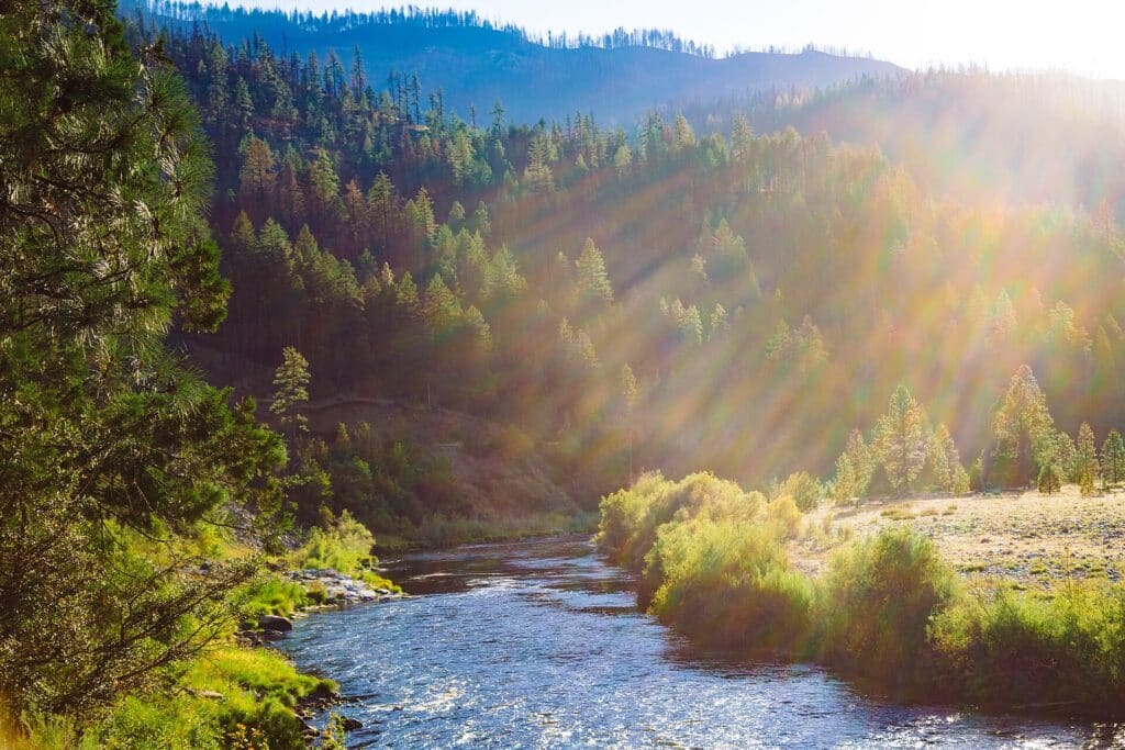
Happy Camp is a useful area to orient a middle-river trip. Curly Jack Campground is a named Forest Service base nearby, but it operates seasonally, generally from mid-May through mid-October. It is not a reliable assumption for a late-autumn or winter overnight stop.
The river has also changed substantially since four hydroelectric dams were removed. Avoid planning from an old article that treats those dams as existing landmarks or describes the former reservoirs as the current river. Use recent access information for the particular stretch you choose.
The mouth is a separate fishery with separate restrictions. CDFW closed it to all fishing for the remainder of 2026 after the lower-river quota was reached. That notice does not describe every mile of the middle river, but it does rule out substituting a mouth session for a middle-Klamath trip without checking the current regulations.
North Coast And Trinity
Trinity River
The Trinity is a good fit if you want to spend time swinging flies for steelhead. The long runs give you room to practice a two-handed cast and fish through the water methodically.
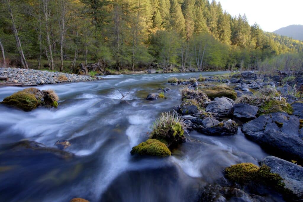
For a first trip, look at the corridor from Lewiston toward Pigeon Point. BLM identifies river access along Highway 299, Steel Bridge Road, and Steiner Flat Road. Choose a mapped entry with room to work, then plan whether you will stay on foot or arrange a guided float between suitable access points.
A boat can help you cover separated runs, but do not treat the whole Trinity as the same float. BLM classifies the Lewiston-to-Pigeon Point corridor differently from the much harder water below Pigeon Point. A river map and an experienced rower matter more than how inviting a run looks from the road.
Fall and winter are established steelhead trip seasons here. Keep some flexibility for changing river conditions, and choose a guide who regularly fishes the stretch you intend to visit. Allow enough time to fish a few good runs thoroughly.
North Coast And Trinity
Mad River
The Mad is another North Coast steelhead choice, with the Blue Lake area providing a useful place to begin. The riffles and runs downstream of the former hatchery property are a familiar fishing approach, but the property’s current role needs explaining.
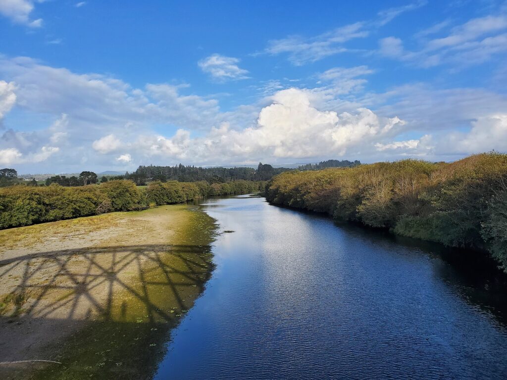
CDFW ended Mad River Fish Hatchery operations in 2025. It said the property would remain available from sunrise to sunset for parking and river access. Plan around that access, rather than expecting an operating hatchery or relying on an old description of its fish-production program.
Give yourself time to walk and examine a manageable section before fishing. A familiar access area can attract other anglers, so choose a run where you can make controlled casts and work through the water without crowding someone already there.
The covered lower-river reach is subject to CDFW’s North Coast low-flow closures. Check the date-specific decision before setting off, even if the property itself is open. For this river, parking access and legal fishing are two separate conditions that need to align.
North Coast And Trinity
Eel River
The Eel belongs on the list for anglers interested in winter steelhead and a redwood-country river trip. Humboldt Redwoods State Park provides a useful place to begin comparing the mainstem and South Fork, with fishing access along both rivers.
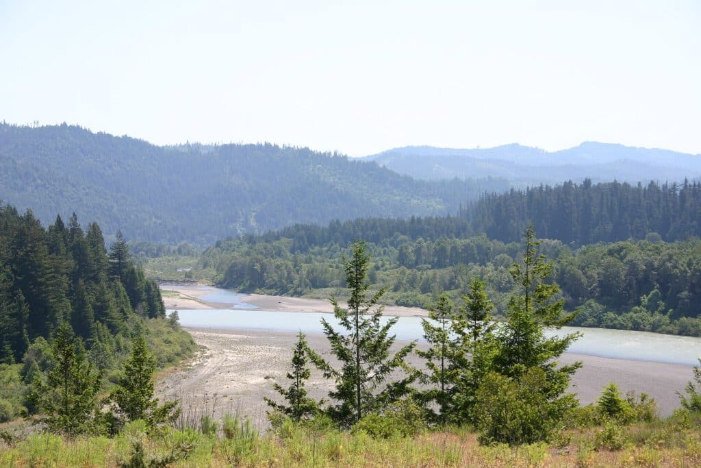
A shore-based outing is possible here, so you do not have to make a drift-boat booking before exploring the park’s fishing options. Choose a permitted access point on the park map, then look at the actual water and space available for casting before deciding how much river you can cover.
Timing depends heavily on rain. The park warns that the South Fork can rise quickly after a heavy storm, while low water can bring a different problem: a legal closure. Neither a wet forecast nor a familiar winter date establishes that your chosen reach is ready to fish.
Use CDFW’s current low-flow status for the mainstem or South Fork you intend to visit. If a reach is closed, change the fishing plan rather than treating a park entrance as fishing permission. For a first steelhead trip, a local guide can also help you choose between walking the bank and floating an appropriate stretch.
North Coast And Trinity
Russian River
The Russian gives you a winter steelhead option around Guerneville and Forestville, with a different fishing plan available for smallmouth bass and spring shad. Choose the species first. It determines whether you are watching winter rain and steelhead conditions or planning a warmer-weather outing.
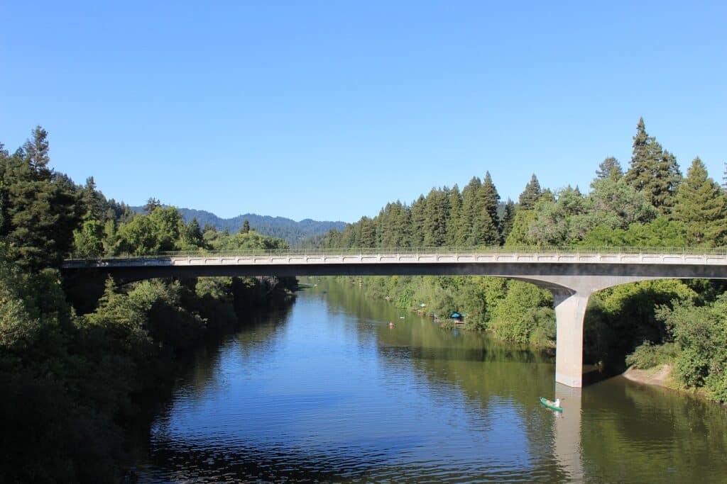
For steelhead, compare the river near Guerneville with the Steelhead Beach area in Forestville. These named access areas give you a practical place to begin planning a bank session. Confirm the park approach and the fishing status separately, since an open parking area does not establish an open fishery.
After a strong winter storm, high, muddy water can delay useful fishing for several days. Leave some flexibility in the itinerary instead of assuming the morning after rain will be the best time. The opposite problem matters too: low flow can trigger a legal closure.
Use CDFW’s Central Coast status page for the current Russian River decision. Once the water and rules suit your trip, give the chosen run time. For a broader introduction to the tackle and presentation, read our steelhead fly fishing guide before packing.
Tahoe And The Eastern Sierra
Truckee River
The California Truckee offers brown and rainbow trout in a river that changes noticeably between town, Glenshire, and the canyon toward Nevada. For a first outing on foot, start by comparing the town and Glenshire access rather than choosing a remote canyon pullout simply because the river looks close to Interstate 80.
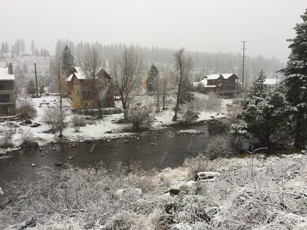
Glenshire has accessible runs, but public access is not continuous. The San Francisco Fly Casters Club owns streamside property near Glenshire Bridge. Use the public approaches and respect the posted boundary; a path beside the water does not make that property available for a walk-through.
Carry nymphs as well as dries. Use short-line nymphing in the runs, then watch the flatter Glenshire water for a dry-fly opportunity. Work a manageable piece of water carefully, then change position when the current makes a clean drift difficult.
Farther downstream, the canyon requires more attention to the approach and the river level. Summer rafting and changing releases can also affect the experience. Keep this plan on the California side of the state line, and check the exact special-regulation stretch rather than treating the entire Tahoe-to-Reno river as one fishery.
Tahoe And The Eastern Sierra
East Fork Carson River
The East Fork Carson below Hangman Bridge is worth considering if you want freestone trout water near Markleeville. Rainbow and brown trout occupy a mixture of pools, riffles, and pocket water, with the river becoming more enclosed as it continues toward Nevada.
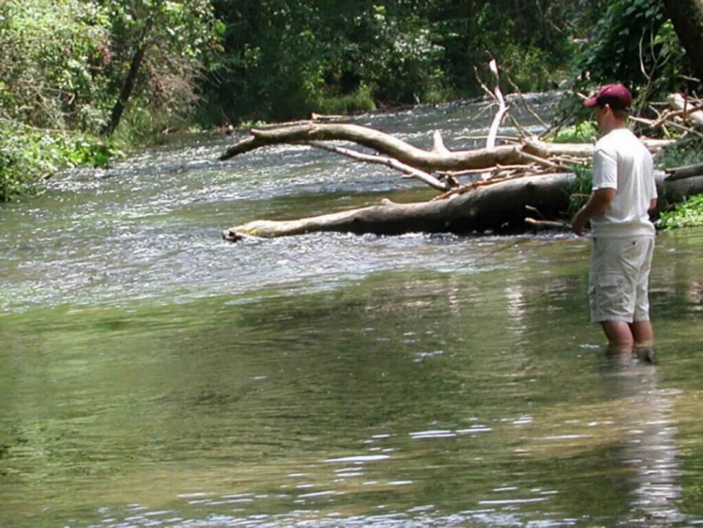
Hangman Bridge provides a practical place to investigate the walking approach. Choose a reachable stretch and fish your side carefully rather than planning a series of crossings. The pools and faster connecting runs offer different presentations without requiring you to travel far downstream.
A dry-dropper is a useful starting rig after runoff has eased. A larger dry supports a nymph below, giving you a second way to work a run when fish are not taking from the surface. Change the dropper’s depth to suit the piece of water instead of keeping one setup for every pool.
Later summer and fall are useful planning windows, although current flow still matters. Do not rely on an older article to establish the current fishing rules below the bridge. Use the present California rule for the reach, and keep the Nevada state line in mind as you plan how far downstream to go.
Tahoe And The Eastern Sierra
West Walker River
The West Walker is a useful option for a California freestone trip along Highways 108 and 395. Snowmelt feeds the river, and the roadside corridor gives you opportunities to compare meadow water, riffles, pools, and the canyon without confusing it with the East Walker’s below-reservoir fishery.
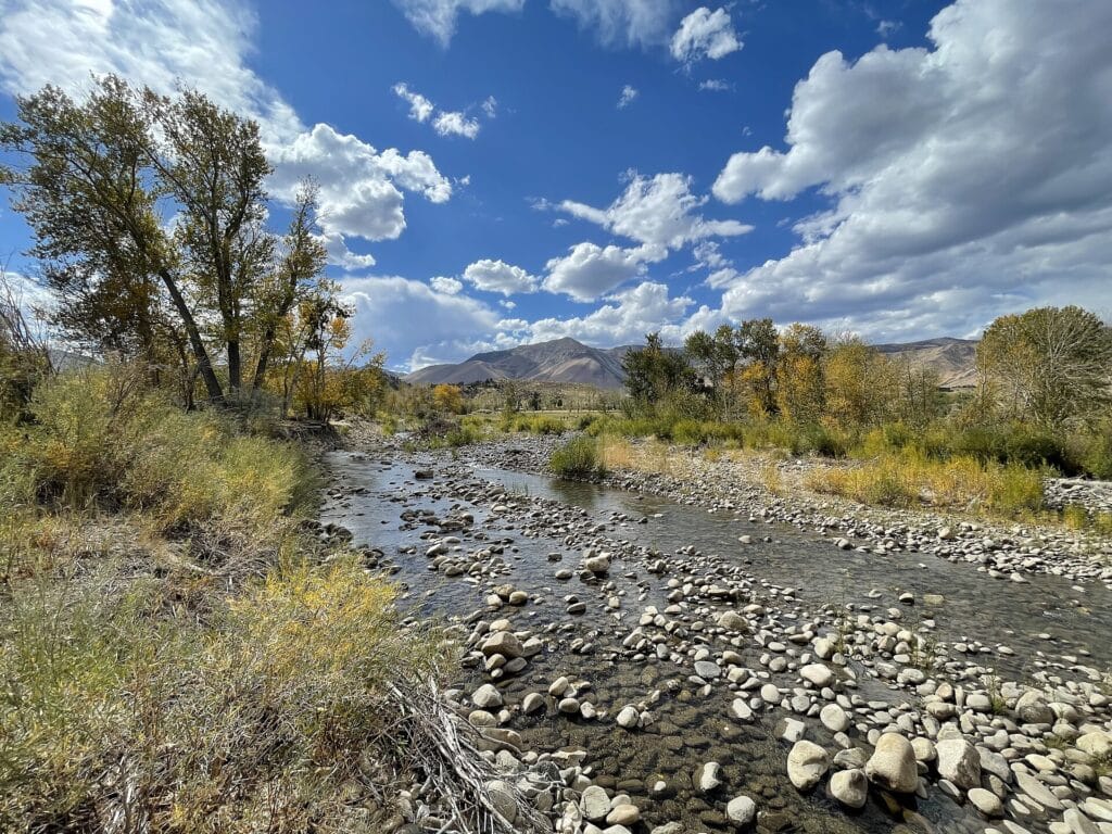
Pickel Meadow off Highway 108 is one named walking approach to investigate. Park at the designated entry and follow the short walking approach to the river. Use the mapped wildlife-area entry and pick a section you can reach comfortably, rather than assuming the whole highway corridor offers unrestricted bank access.
A dry-dropper is a sensible starting presentation. An attractor dry with a small bead-head nymph below covers both the surface and the water beneath it. Work the nearer water first and adjust the rig when you move from a shallow riffle into a deeper run.
Summer and fall generally make a more practical starting plan than peak spring runoff. Peak runoff can make the river difficult to fish. Follow the current flow and weather for your visit, and keep the trip’s location explicit: the West Walker continues beyond California, where the applicable rules change.
Tahoe And The Eastern Sierra
East Walker River
The East Walker below Bridgeport Reservoir is a useful contrast to the nearby West Walker. Start with the California tailwater corridor if you want to concentrate on nymph fishing for brown and rainbow trout, rather than explore a longer freestone river.
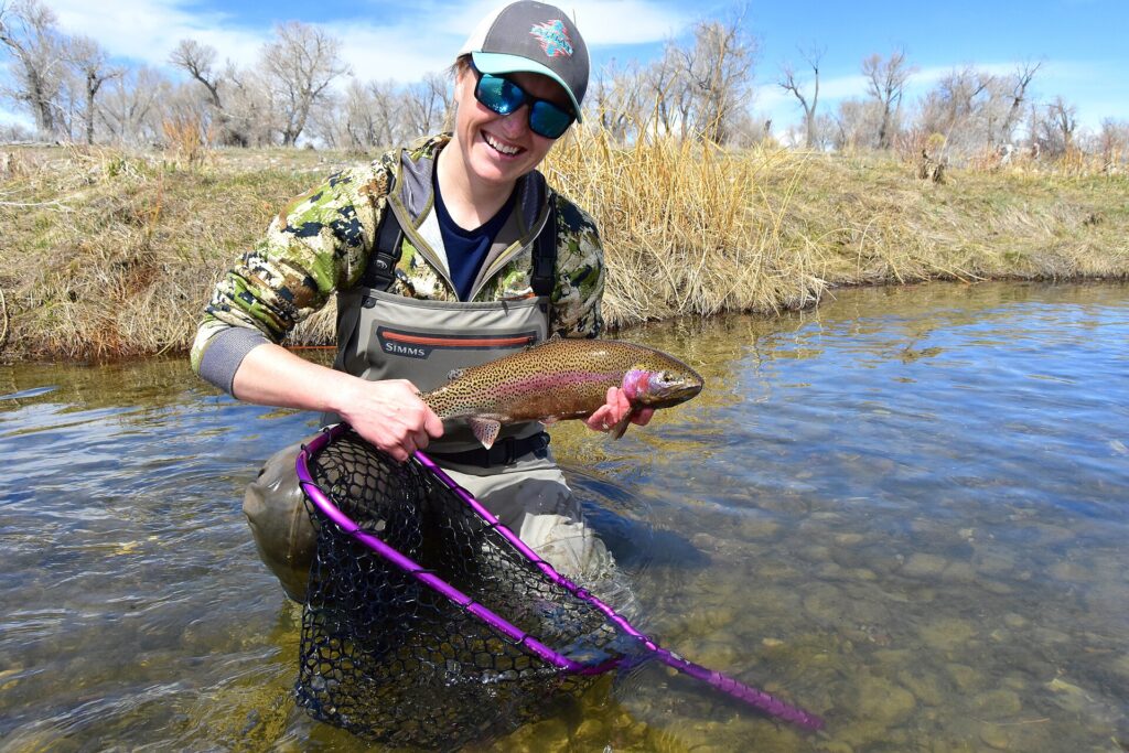
The short stretch immediately below the dam, commonly called the Miracle Mile, is the obvious place to learn the water. Indicator and Euro nymphing are both established approaches. Give a promising run several controlled drifts before moving, and adjust your presentation to the water you can actually reach from a stable position.
CDFW’s East Walker River Wildlife Area follows the river and Highway 182 for seven miles north of Bridgeport Reservoir. Its map gives you a practical public corridor to work from. Stay within the mapped access rather than assuming every pullout gives permission to cross nearby land. Our Euro nymphing setup guide explains the tackle behind that shorter-line approach.
Check the dam release and the California rules for your chosen reach before entering the water. This river also continues into Nevada, so a description of the East Walker alone is not enough to establish the license or regulations that apply. Keep the state line clear in your planning.
Tahoe And The Eastern Sierra
Owens River
The Owens offers two distinct trips. The Upper Owens flows into Crowley Lake, while the Lower Owens begins below Pleasant Valley Reservoir near Bishop. For this plan, start with the lower river if you want to concentrate on nymph fishing and a cooler-season visit.
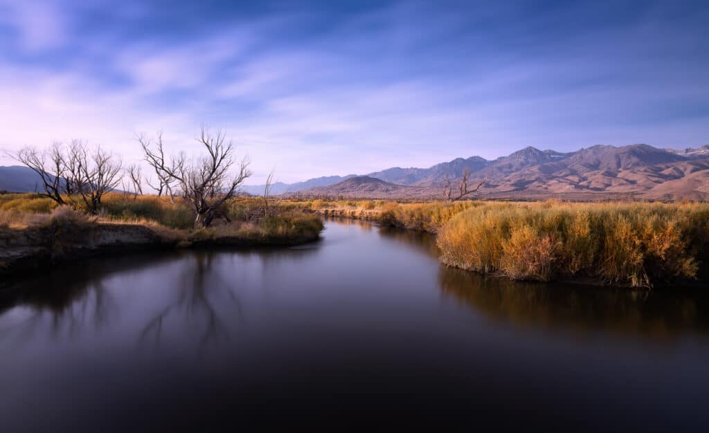
Pleasant Valley Campground is a named county-operated starting point beside the river. Use the county map to locate the access and compare it with the stretch you intend to fish. A campsite near the Owens should not be confused with access to the Upper Owens near Crowley.
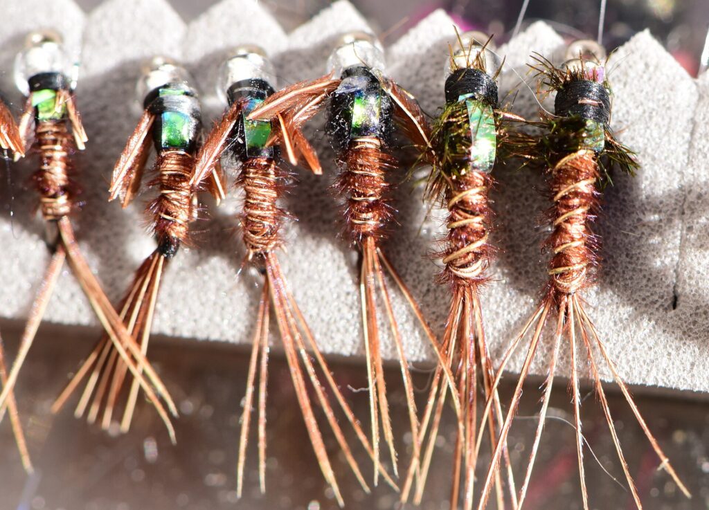
Weighted midge and mayfly nymphs belong in the lower-river box. Work the deeper runs and pools with enough weight to reach the feeding water, then adjust as the depth changes. Pheasant Tails and small midge patterns give you a practical selection without packing every fly you own.
Fall through spring is worth considering before committing to a summer trip. Releases commonly rise with summer water demand, and the heat changes the experience as well. Choose a day with manageable releases, then spend your time learning a few runs rather than forcing a long walk along unfamiliar water.
Tahoe And The Eastern Sierra
Hot Creek
Hot Creek is a useful choice for bank fishing in the eastern Sierra. Public water lies below the private Hot Creek Ranch, and you can work across the small creek without assuming you need to stand in it. Mono County discourages wading, which also makes careful bank positioning part of the fishing.
Begin with the public canyon access reached from Hot Creek Hatchery Road, following the designated roads, parking, and trails. The hatchery itself is closed to visitors. That notice should not be confused with the downstream public fishing water, but it also means you should not plan to enter through the hatchery grounds.
Early summer gives you a useful starting season. Caddis dries and emergers belong in the box, with blue-winged olive patterns providing another established option. Watch the fish and the insects before committing to a pattern; a short, controlled presentation is more useful than repeatedly covering the creek with line.
Later in summer, weed growth reduces the open water available for a drift. That is a reason to choose your casting position carefully or favor an earlier visit. Consult the current Hot Creek special regulations for your exact stretch, and keep the private ranch boundary clear.
Central Sierra
Merced River
The Merced lets you combine trout fishing with time in Yosemite, but it helps to choose between the Valley and the river corridor toward El Portal. Rainbow trout are part of the Yosemite fishery, and the river’s road access makes a shorter outing possible without turning it into a backcountry expedition.
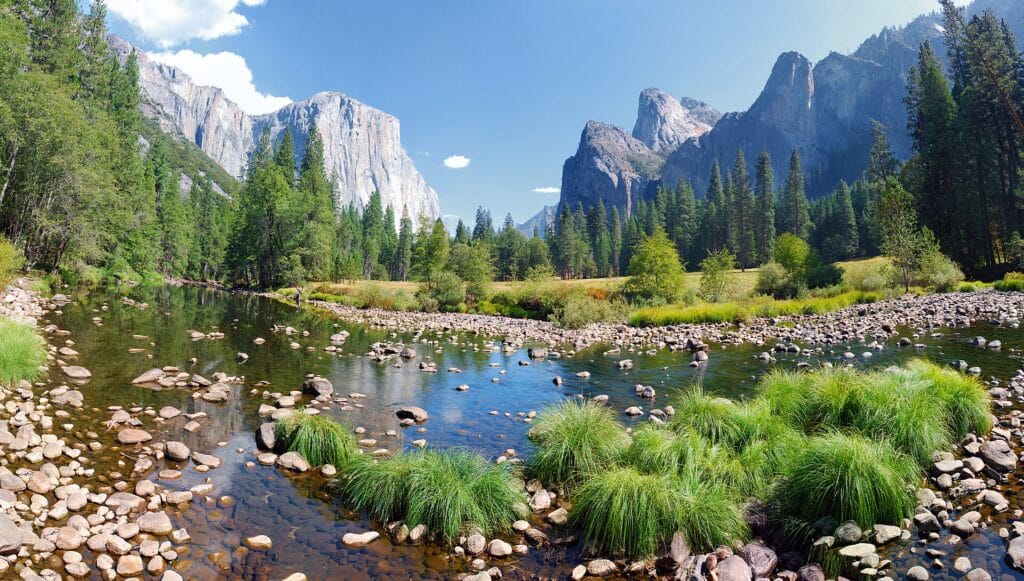
For a summer visit, leave room for an evening session. Allow time from afternoon into evening for dry-fly fishing. Watch for rises before choosing the water to work, and avoid spending your whole fishing window moving between roadside stops.
Yosemite’s rules changed in 2026. The park now lists the Merced and South Fork Merced as open year-round, with artificial lures or flies and barbless hooks. Rainbow trout must be released unharmed and should remain in the water. Older April-to-November calendars and older brown-trout rules should not guide the trip.
Use the park’s current fishing page and map to distinguish Yosemite Valley, the El Portal Administrative Site, and water farther downstream. The park also prohibits fishing from bridges. Find a permitted bank approach rather than treating a convenient view from a bridge as a place to cast.
Central Sierra
San Joaquin River
For trout, the Middle Fork around Devils Postpile is the San Joaquin reach to investigate here. It is a mountain-river trip near Mammoth Lakes, separate from the broad lower river in the Central Valley. The National Park Service identifies several places to reach the river within the monument.
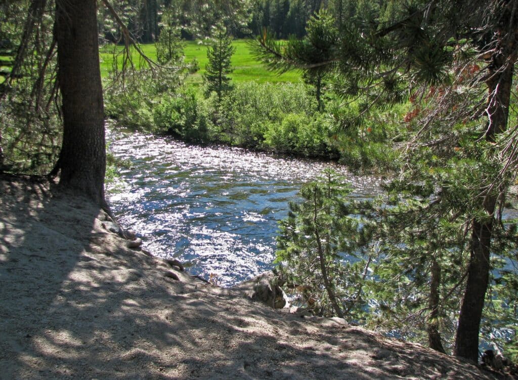
Start with the mapped approaches near Devils Postpile and Soda Springs Meadow, then choose a manageable stretch. A smaller attractor dry, such as a Royal Coachman, is a reasonable first option when fish are willing to rise. Give the fly a clean drift through the run before changing patterns.
Summer changes the amount of water available to fish. NPS notes that the river drops as the season progresses, exposing gravel bars. That can help you read individual runs, but it does not make every crossing sensible or every stretch equally productive.
Getting into the valley is the main planning constraint. Reds Meadow Road reconstruction affects access and shuttle service in 2026. Use the current Forest Service schedule linked by NPS before arranging the trip, and allow for the seasonal road closure. Old shuttle cutoff times in fishing articles are not a reliable plan for the current works.
Central Sierra
Kings River
Choose your Kings River reach before you start planning flies or accommodation. The trout water below Pine Flat Dam, the upper river above the reservoir, and the high forks in Kings Canyon are distinct trips. The lower river is the most practical starting point here if you want to investigate established access without a long mountain hike.
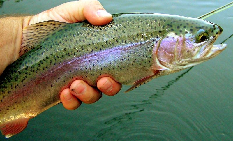
The Kings River Fisheries Management Program maintains a fishing-zone map and links to public access, including Winton Park, Choinumni Park, and the Kings River Conservation District’s all-access fishing area. Match an entry to the stretch you want to fish, since a park elsewhere on the Kings may serve a very different outing.
Trout, including browns, are established below Pine Flat. Consider the cooler months before a summer visit to this lower water. Carry a selection for subsurface fishing, but watch for a rising fish before you cover a pool with repeated casts.
If you want a more demanding approach, the upper Kings between Pine Flat and the South and Middle Fork confluence is designated wild-trout water. That is a separate access and regulation plan. Do not transfer the lower river’s parking, flows, or fishing rules to the upper canyon simply because both are labeled Kings River.
Southern California
Kern River
The Kern is a useful Southern California choice for anglers who want trout water in a rocky canyon. Focus on the river above Lake Isabella and around Kernville for this plan. The wider Kern watershed is the native home of the Kern River rainbow trout, although that does not mean every trout in every accessible reach is a native fish.
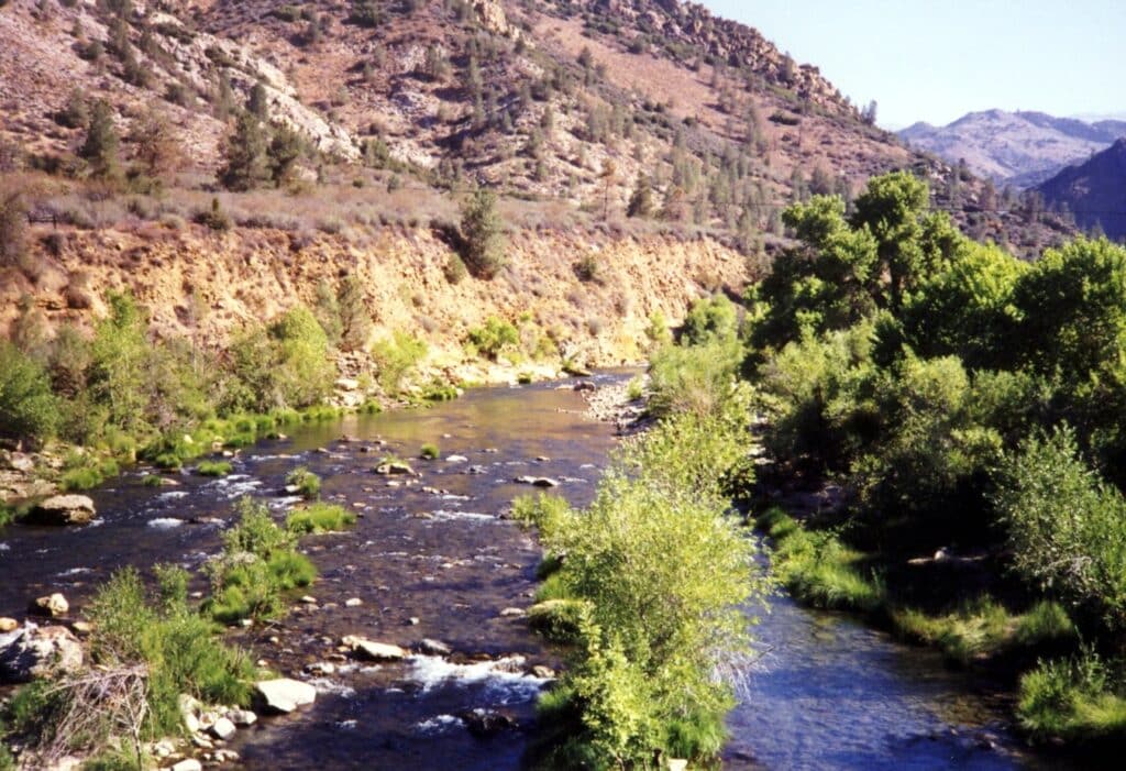
Pheasant Tail nymphs are a sensible starting pattern. Carry a few weights and concentrate on a drift you can control beside the faster current. A familiar nymph presented properly gives you more to work with than changing patterns while the fly keeps sweeping above the holding water.
The River Trail at Johnsondale Bridge is a concrete walking approach to the North Fork. It starts on the east side of the bridge and follows the river north. Check current Forest Service notices before traveling; spring runoff can submerge parts of the trail. Goldledge Campground is currently listed as closed, so do not assume it is an alternative entry.
The upper canyon and the river below Lake Isabella require separate plans. A release report, campground listing, or fishing rule for one does not describe the other. Keep your first day to one reachable section and allow time to work the pockets carefully rather than driving between distant parts of the watershed.
Southern California
West Fork San Gabriel River
The West Fork San Gabriel is worth considering for a smaller trout outing near Los Angeles. The lower fork follows a gated, paved streamside route from Highway 39 toward Cogswell Dam. Walking or cycling that corridor is the usual approach described for reaching the creek.
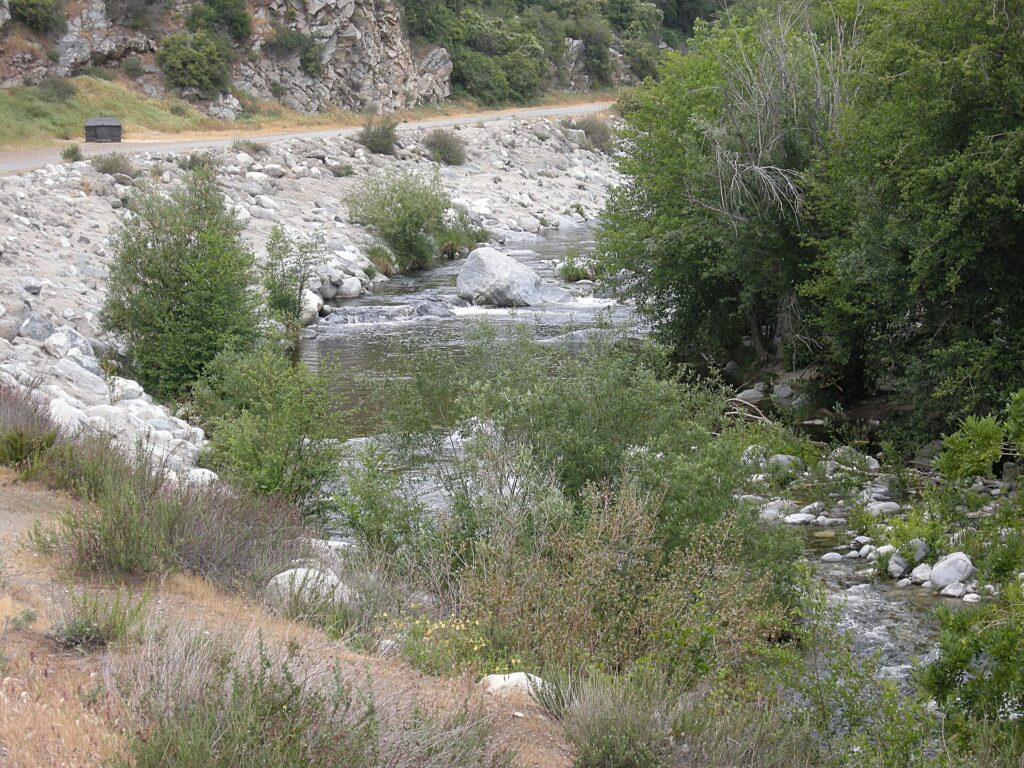
An Adams dry is a useful starting choice, with nymphs and emergers as alternatives when fish are feeding below the surface. Keep the first casts short and work a reachable pocket carefully. A small creek gives you little reason to begin with a long cast across several currents.
Access is the part to settle before traveling. The route has had temporary Forest Service restrictions, and an older walking description does not confirm that it is currently open. Check the current Angeles National Forest alerts for West Fork Road and your intended parking area.
Use the current CDFW entry for the stretch below Cogswell rather than applying general trout rules. Confirm any restrictions on pedestrians or bicycles; the routine vehicle gate alone does not establish that walking access is closed. This is a useful short-trip option when the authorized route and fishing rules allow it.
Southern California
Los Angeles River
The Los Angeles River earns its place here through carp fishing. In the soft-bottom Glendale Narrows, local anglers use fly tackle in an urban setting very different from California’s mountain trout rivers. The appeal is learning to spot and present to fish close to the city, not finding a wilderness stream.
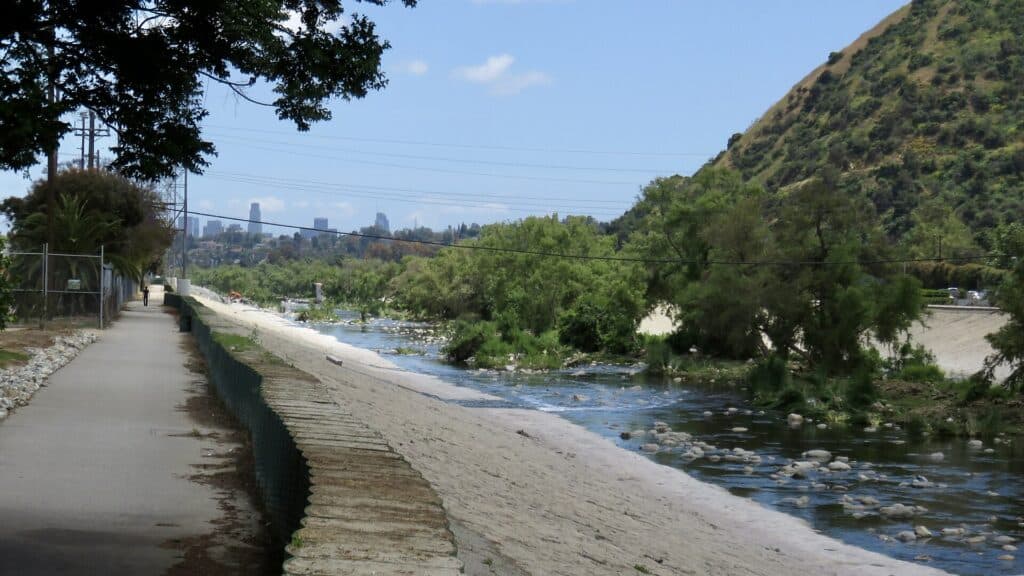
Start by watching rather than casting. An early approach gives you time to watch and use the current to carry a fly toward a visible fish. A carp that is actively feeding gives you a more deliberate target than blind casts across an unfamiliar section of channel.
Legal river access is seasonal in the designated recreation zones. MRCA identifies Rattlesnake Park at Fletcher Drive as the Elysian Valley entry. Its current notice says both Elysian Valley and Sepulveda Basin closed for the 2026 season, with reopening planned for Memorial Day 2027.
Polarized glasses are useful to have while watching the water. The KastKing Skidaway sunglasses are one option, but glare, depth, and water clarity still affect what you can see. Our carp fly fishing guide explains the broader approach to presenting a fly to feeding fish.
Treat this as a trip to plan for an open recreation period, and follow MRCA’s current map, water-quality notices, and temporary closures. A nearby bike path or a photograph of anglers in the channel is not permission to enter it. There is a worthwhile carp fishery here, but the authorized approach is part of choosing the day.
Choose Your Access Before Your Route
A river you can walk beside and a river you can fish effectively from the bank are not always the same thing. Plan the approach around the water you want to cover. On a short trip, a clearly mapped entry and a modest route leave more time for fishing.
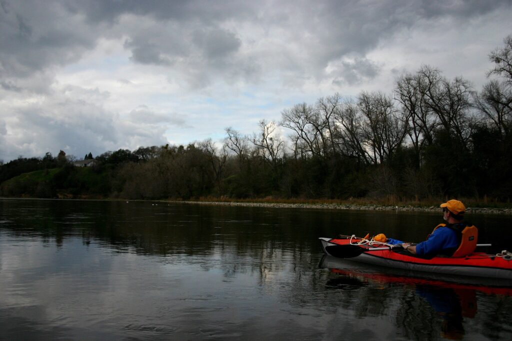
Bank, Boat, Or A Demanding Approach?
Walk From A Public Park
Dunsmuir City Park gives you a named Upper Sacramento entry. Fish a reachable section before extending the walk.
Arrange A Boat First
Fall River has limited public access. Confirm the Island Road launch terms and arrange a suitable craft before choosing your fishing hours.
Give The Canyon More Time
The Pit requires careful footing and a deliberate approach. A guided first visit is worth considering if you are unfamiliar with this water.
For a float, arrange the takeout and vehicle return before launching. For a walking trip, leave time to retrace the route. Neither plan benefits from making the final hour a rush back to the car.
Flies And Gear For Your Chosen River
Pack for the presentation you expect to use most. A trout nymphing day, an evening hatch, and a steelhead swing each need a different selection. Our trout fly rod guide can help with the trout setup; choose steelhead or carp tackle separately.
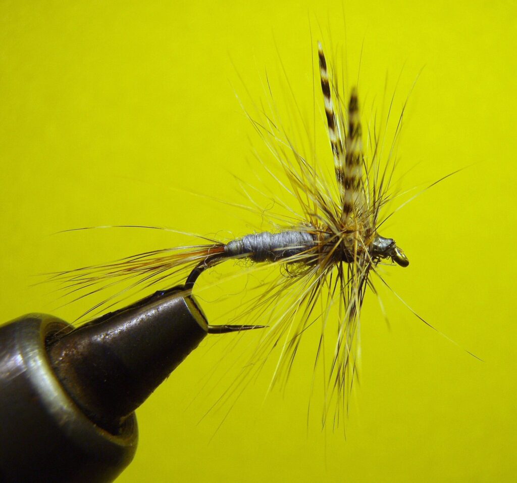
Give Each Presentation A Job
Indicator Nymphing
On the Lower Sacramento, start with controlled nymph drifts below the surface.
Short-Line Nymphing
On the Pit, keep the drift manageable through reachable pockets and along their edges.
Watching For Surface Feeding
On lower Hat Creek, summer morning tricos and evening caddis give you distinct reasons to watch before casting.
A small backup box is easier to search than a bag of loose packets. The SF slim fly box is one option for small dries and nymphs; keep larger flies in storage that leaves their materials room. Replace worn tippet and check knots before moving into the next run.
Match The Season To The Reach
There is no single best month for all 28 waters. Start with the fishing you want, then account for snowmelt, releases, rain, and the reach-specific season. This is where a flexible itinerary can help more than another box of flies.
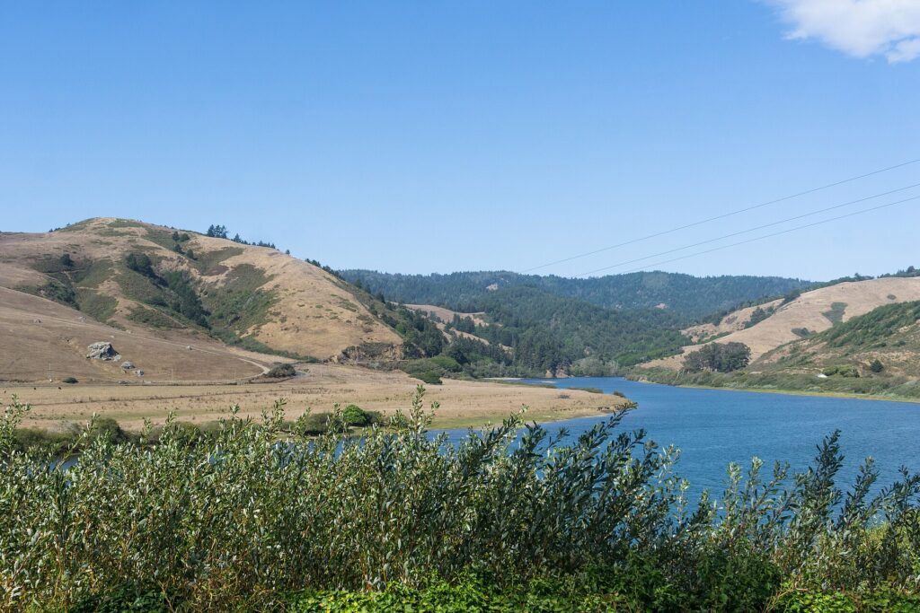
Three Different Seasonal Plans
After Snowmelt
The West Walker is a summer or fall option once runoff has eased. Choose the day from actual water conditions, not a fixed date.
Cooler Months
Consider the Lower Owens from fall through spring, when the usual release pattern can be more manageable than summer.
Winter With Flexibility
January and February are useful Smith steelhead planning months. Rain, river level, and current opening status still decide whether a particular day works.
Use CDFW’s current regulations hub for current regulations and licensing, then match the rule to your named reach. North Coast and Russian River low-flow decisions need their own date-specific check. A fishing report or an open campground does not replace those controls.
For a short trip, choose one region and give its main river a full day. Keep a nearby alternative only if its access and conditions suit the same dates. Trying to combine the North Coast, Yosemite, and the eastern Sierra into a few fishing days leaves too little time at the water.
California River Questions
For trout on foot, consider the Upper Sacramento around Dunsmuir and its city-park access. For hatch-focused fishing, compare lower Hat Creek. The better choice depends on whether you want to work pockets or wait for a surface-feeding opportunity.
Some waters offer winter opportunities, including cooler-season nymphing on the Lower Owens and steelhead fishing on the Smith. That does not make every reach open. Check the exact regulations and any current low-flow decision before fishing.
Not for every river. Dunsmuir City Park provides an Upper Sacramento starting point on foot, and Hot Creek offers bank fishing. Fall River requires more advance planning because public access is limited and a suitable boat is central to the usual trip.
A trout setup is a starting point for the trout waters, but steelhead and carp require a separate tackle decision. Even between trout rivers, a short-line pocket-water approach and a dry-fly session call for different presentations.
Give Your Chosen River Time
Pick the river that matches the fishing you want to do, then allow enough time to learn a stretch. Work a few good drifts, watch a hatch develop, or fish through a steelhead run without rushing to the next destination.
For another state to compare, return to our guide to fly fishing rivers in the United States.
Featured photo: River and forested mountains along California Highway 96. Photo: Robert Ashworth / Wikimedia Commons, CC BY 2.0. Resized for display.
Save This California River Guide For Later


Pin 1 photo: Mike McBey / CC BY 2.0; cropped and overlaid with guide text. Pin 2 photo: Robert Ashworth / CC BY 2.0; cropped and overlaid with guide text.
Amazon and the Amazon logo are trademarks of Amazon.com, Inc, or its affiliates.
As a part of the Amazon Associates Program and other affiliate programs, Into Fly Fishing® may receive a comission if you order products through links on this website.