As an Amazon Associate I earn from qualifying purchases.
The Roaring Fork gives you a choice between working a piece of water on foot and spending the day in a boat. The river runs from Independence Pass to the Colorado at Glenwood Springs, and the fishing trip you plan around Aspen can be quite different from one on the lower river.
I’m a Billings native and have spent more than 35 years fly fishing, with years of professional guiding behind me.
For the Roaring Fork, I’d settle the wading-or-floating question first, then choose a stretch and put together the flies for that day. Brown and rainbow trout live here, but finding the fishing you enjoy takes more thought than choosing a species.
Quick Answer: For Roaring Fork River fly fishing, compare public access near Aspen with float options between Basalt, Carbondale, and Glenwood Springs. Choose the reach before booking, read the rules at Upper Woody Creek Bridge and the tributary closure zones, and select caddis, blue-winged olive, and midge patterns for current conditions.
Use our Colorado river directory to compare this trip with other waters in the state. Our broader Colorado fly fishing guide covers the rest of the trip, and the United States river guide covers other destinations.
Other Rivers In Colorado
Start With How You Want To Fish
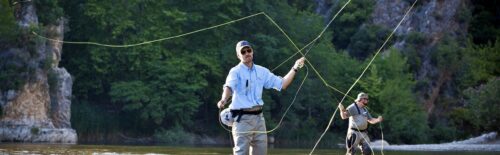
A walking day gives you time to stay with one piece of water and return to a spot that interests you. For a float, I’d talk to the outfitter about how you’ll fish from the boat and whether the trip includes opportunities to get out and fish.
Tell the guide if you’re new to casting from a moving boat. Describe the day you want as well as your experience, so the discussion covers the fishing itself before you start comparing departure times and prices.
Aspen And The Rio Grande Trail
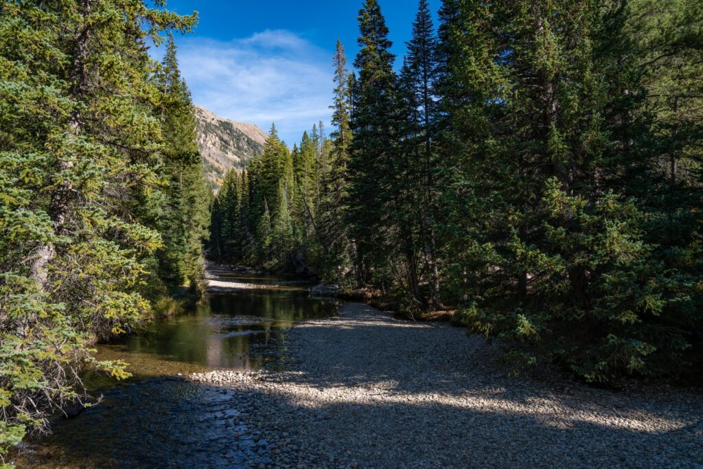
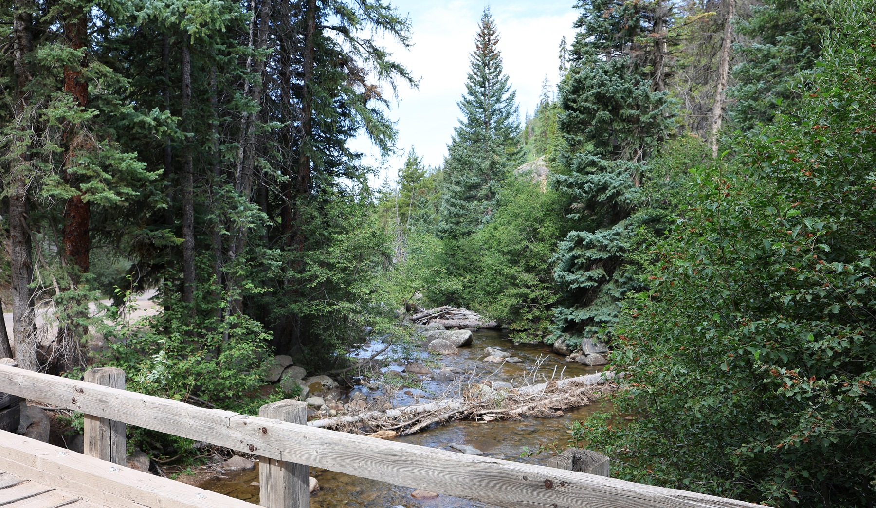
The Rio Grande Trail provides fishing access to the Roaring Fork in some sections. That gives you a useful place to begin planning a walk-in day, but choose a named public access point before setting off along the trail.
Save the access map before leaving and mark the entry and return route. Take the time to match the trail map to the actual public fishing access; a path along the river is only the start of planning a way to the water.
If you need waders for the trip, compare the Frogg Toggs Canyon II waders with the fit and features you want. Try the full outfit before traveling, including the boots you’ll wear with it.
Basalt To Carbondale
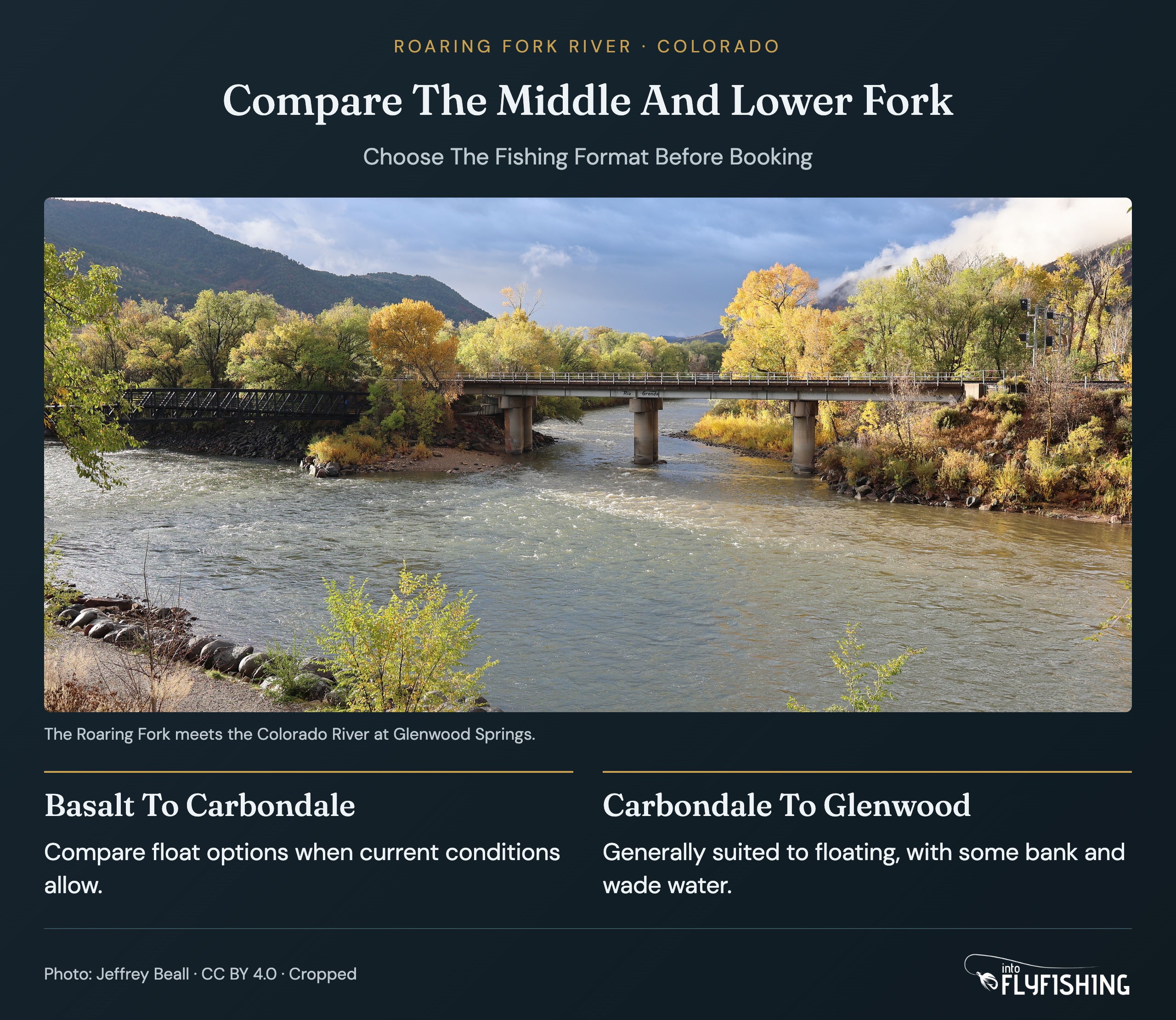
The Fryingpan joins the Roaring Fork at Basalt. The middle Fork runs between Basalt and Carbondale, where float fishing is an option when the water allows it. Check that the proposed float suits your dates before booking.
The Frying Pan River is another fishing option to compare while planning time around Basalt. Give each river its own outing if you have the time, so a move between them doesn’t eat into the fishing day.
Carbondale To Glenwood Springs
The lower river is generally better suited to floating, though there are places to fish from the bank or wade. For a boat trip, this is the stretch I’d compare first. For a day on foot, I’d choose the access before committing to the lower river.
The Gold Medal reach starts at the Crystal River confluence and continues downstream to the Colorado River. Keep those endpoints in mind when looking at a map; the designation describes a particular part of the Fork.
Read The Rules At Upper Woody Creek Bridge
Upper Woody Creek Bridge separates two of the Roaring Fork’s main regulation sections. I’d mark it on the same map as the access point, because the upper section’s artificial-flies-only rule is different from the flies-and-lures rule farther downstream.
From the confluence with McFarlane Creek downstream to Upper Woody Creek Bridge, use artificial flies only and return all trout to the water immediately. Use those two named boundaries when checking the current Colorado special regulations.
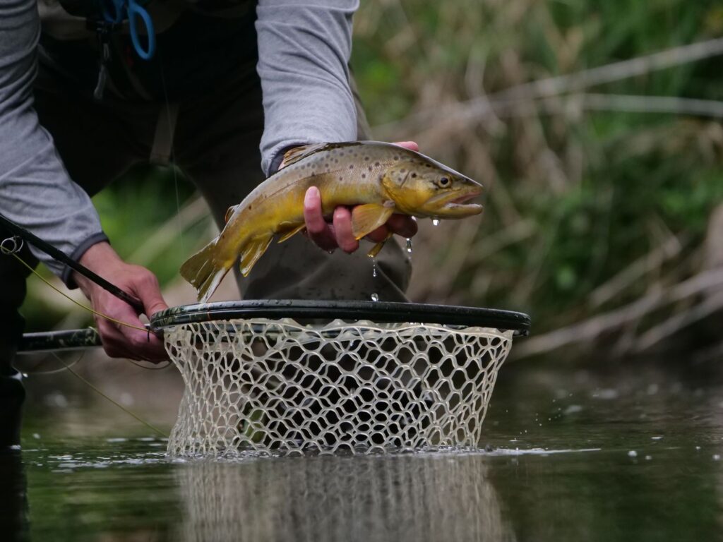
Below Upper Woody Creek Bridge to the Colorado River, artificial flies and lures are allowed. The trout bag and possession limit is two fish, with a minimum length of 16 inches.
Seasonal fishing closures also apply within 50 yards upstream and downstream of the Fourmile Creek and Threemile Creek confluences. Read the current closure dates in the CPW regulations before fishing those zones. The flies-and-lures restriction and trout size and possession limits apply there as well.
The Gold Medal designation and the fishing rules answer different questions. Read the rule for the exact place you intend to fish, including the tributary mouths, before deciding whether you can keep a trout. For a catch-and-release outing, you still need to know which tackle is allowed.
Choose Flies For The Reach And The Day
I’d organize the first fly box around caddis, blue-winged olives, and midges, then use the current report to choose patterns and sizes. Carrying those families gives you options, but the hatch on your chosen stretch should guide what comes out of the box.

Keep the options easy to find. The SF slim fly box is an option for organizing the flies you decide to bring. Separate them in a way that makes sense to you, so you can compare a couple of choices without emptying the box beside the water.
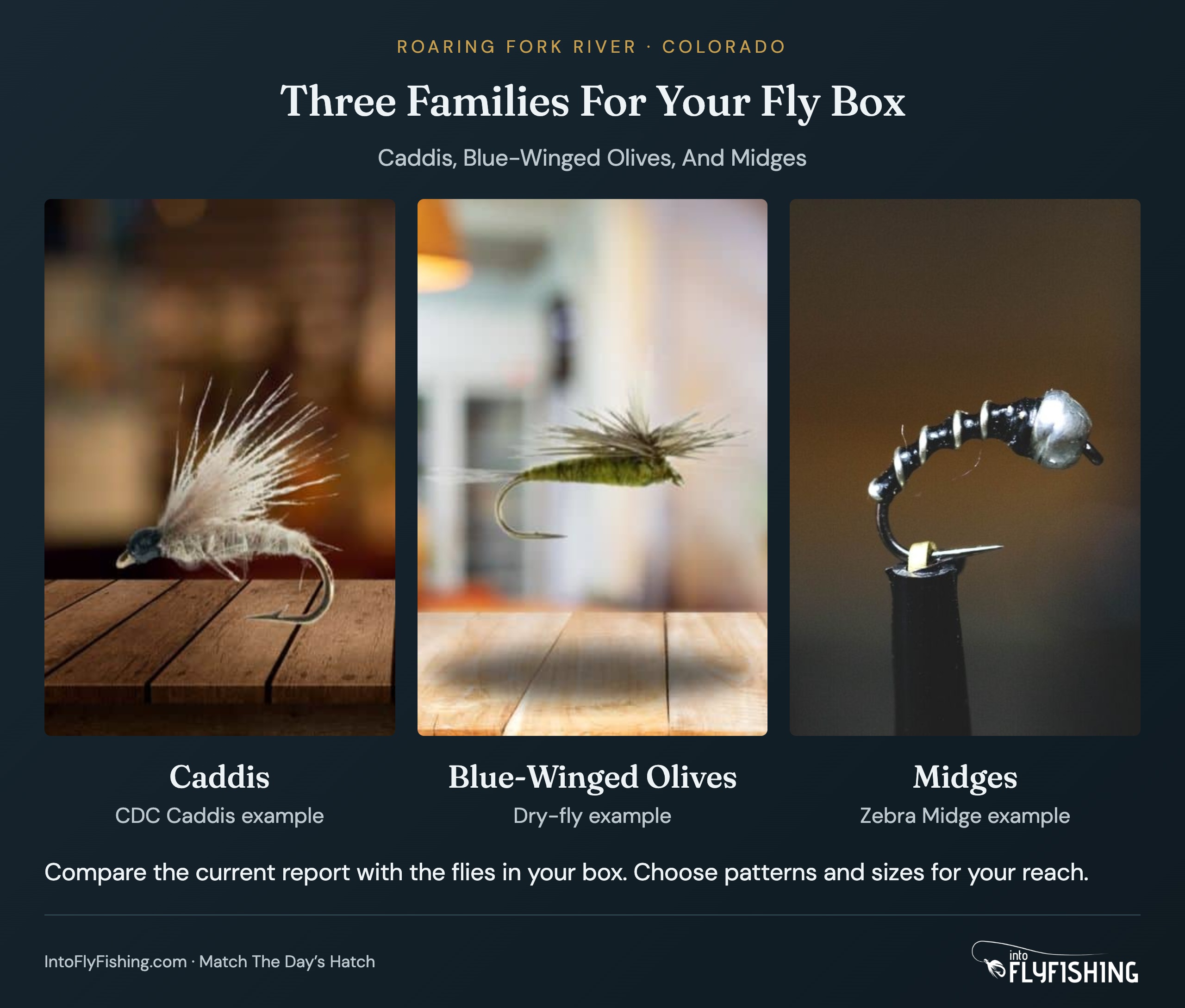
Use the current Roaring Fork report for the stretch you’re fishing before filling the box. Ask which individual patterns and sizes are working before stocking up on any one fly.
For the rod, start with the fishing you’ve chosen rather than treating the whole river as one setup. Our trout fly rod guide compares the options. If you’re hiring a guide, ask what they supply before packing or buying duplicate equipment.
I’d also leave time at the start of the day to watch the water and talk through the plan. You don’t need to work through every fly in the box simply because you brought it. Give the presentation some attention before deciding that the pattern is the problem.
Use The Aspen Gauge For The Upper River
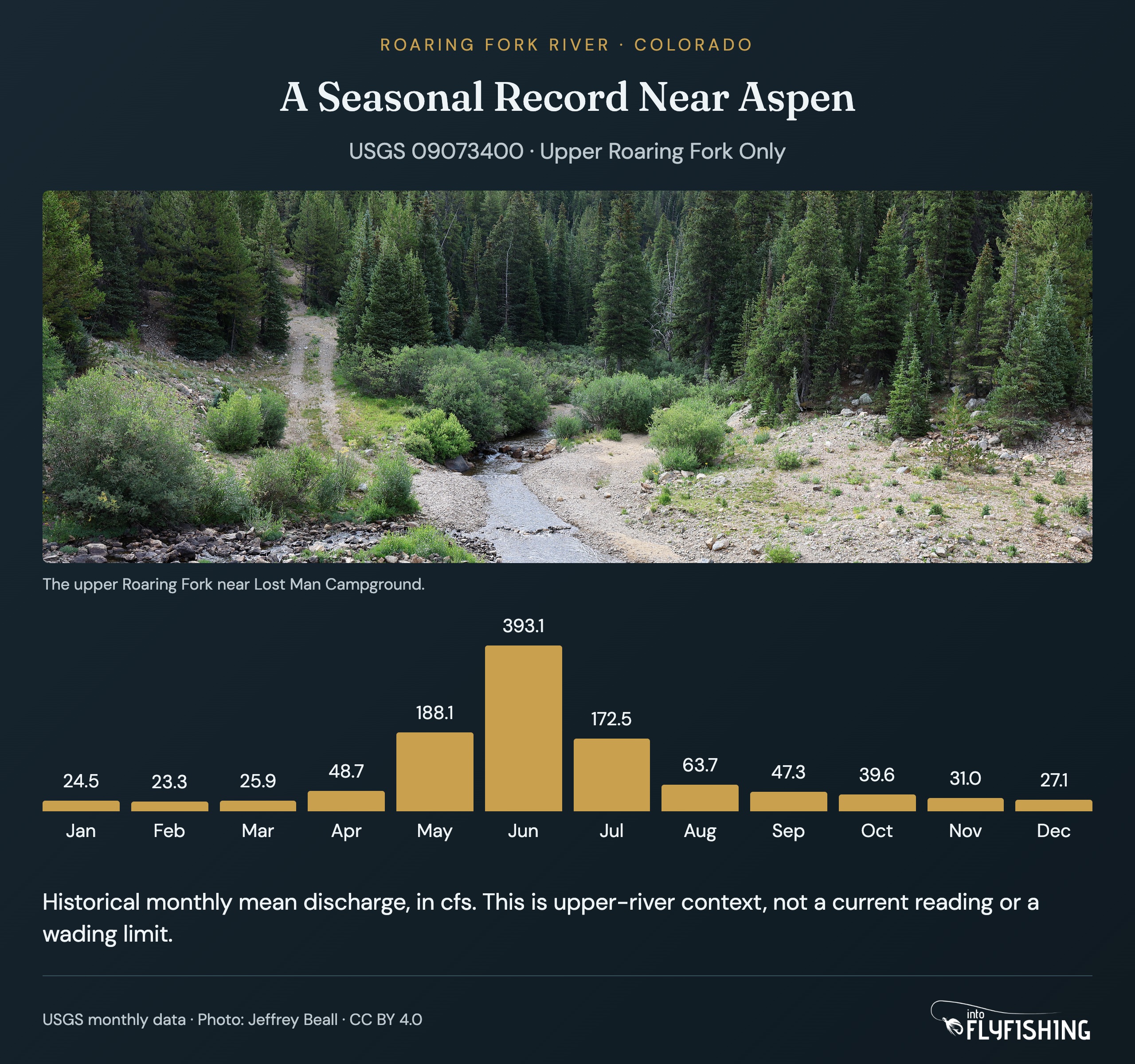
The Roaring Fork River Near Aspen gauge, USGS 09073400, describes the upper river near Aspen. Keep that location attached to any reading you look up. It doesn’t tell you the flow at Basalt, Carbondale, or Glenwood Springs.
The historical monthly record helps show how discharge has varied through the year at that station. It can give you context for planning, but I wouldn’t use a monthly average to decide that a crossing or a float is suitable today.
Check the current CPW river information and a current report close to the trip. Keep the station name and timestamp with the reading you use. A report and a gauge reading are easier to compare when both refer to the water you plan to fish.
Yes. The river has public access for bank and wade fishing, and parts of the Rio Grande Trail provide fishing access. Choose the exact public entry before setting out. The lower river also has some bank and wade water, though floating is generally the better way to fish that reach.
The Gold Medal section runs from the Crystal River confluence downstream to the Colorado River. That designation covers a specific reach, so keep the endpoints separate from the fishing regulation boundaries.
From McFarlane Creek to Upper Woody Creek Bridge, artificial flies are required and all trout must be released immediately. Below the bridge, artificial flies and lures are allowed, with a two-trout bag and possession limit and a 16-inch minimum length. Seasonal fishing closures also apply in the 50-yard zones around Fourmile and Threemile creeks. Read the current regulations for those dates.
Start by considering caddis, blue-winged olive, and midge patterns. Choose the sizes and individual patterns from a current report for the section you’ll fish. A general hatch chart should help organize the box, rather than decide every fly in it.
Give Yourself Time To Fish The Stretch You Choose
With one day on the Roaring Fork, I’d settle on a stretch and spend the time fishing it. For a walking day, I’d begin with the public access available along the Rio Grande Trail. For a float, I’d compare the middle and lower river with the outfitter before choosing the trip.
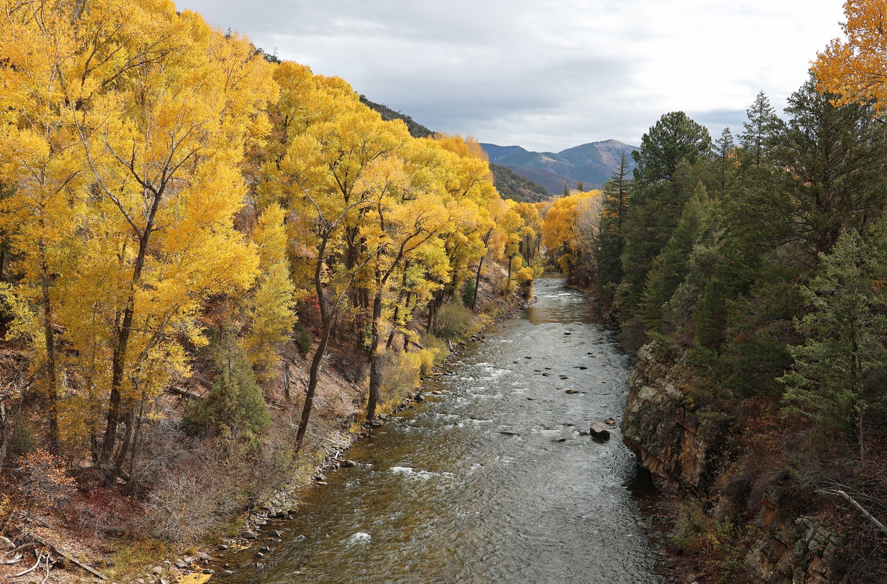
Pack what you need for that outing. If polarized eyewear is missing from your kit, the KastKing Skidaway sunglasses are an option to compare. Then leave the gear shopping alone and give yourself enough time at the river. I’d rather spend the day getting to know one stretch than keep driving to another access point.
Save This Fishing Guide For Later


Pin photographs: Rio Grande Trail and Lincoln Creek Road, Jeffrey Beall / CC BY 4.0. Cropped with text and shading added.
Amazon and the Amazon logo are trademarks of Amazon.com, Inc, or its affiliates.
As a part of the Amazon Associates Program and other affiliate programs, Into Fly Fishing® may receive a comission if you order products through links on this website.