As an Amazon Associate I earn from qualifying purchases.
MONTANA RIVER DIRECTORY
Fly Fishing Rivers
In Montana
Compare 28 rivers and creeks, with the reach differences and access decisions that help you plan a fishing trip.
Choose Your Montana Water
On my first fly fishing trip to Montana, my father and I were hiking beside the Boulder River when an angler invited us to fish part of her land. Since then, I’ve returned to fish rivers around the state. These 28 entries help you choose a reach, understand its access, and decide which waters fit the trip you want.
For lakes, seasons, and broader trip planning, read the Montana fly fishing overview.
The Montana River Directory
Compare the river settings and access before settling on a destination. Open an entry for the details, or use the menu to jump straight to a river.
The Madison River
The Madison River below Earthquake Lake flows through the upper Madison Valley toward Ennis, with wild brown and rainbow trout along the way. Between Palisades and Varney, shallow, fast riffles are broken by boulders and small changes in depth.
Those changes are worth studying: depressions and seams beside rocks can hold fish in water that looks uniform from a distance. Drift boats and rafts are common ways to fish this part of the Madison. Below Ennis Lake, the river takes another turn in character as it enters Bear Trap Canyon.
The Missouri River
Below Holter Dam, the Missouri River is a tailwater trout fishery near Craig. Brown and rainbow trout live here, and weed beds, islands, and changes in depth create places for them to hold.
Compare Three Montana Tailwaters
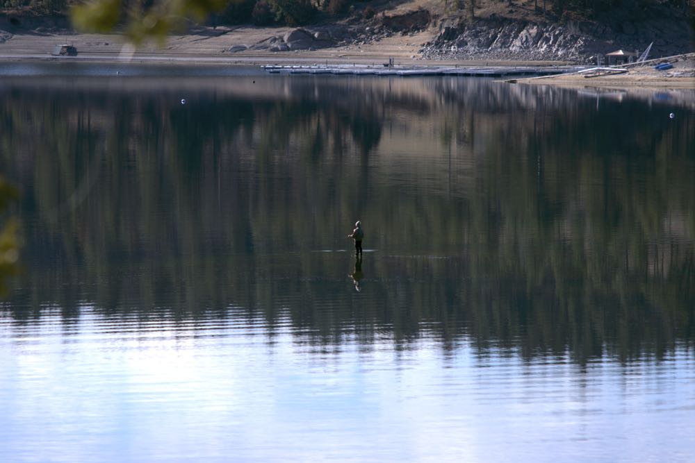
Missouri Below Holter
The tailwater near Craig has broad water and demanding dry fly fishing.
Beaverhead Below Clark Canyon
A winding channel rewards precise nymph presentations.
Bighorn Below Yellowtail
Anglers often float between access points and stop to wade.
Choose the river and reach first, then check its current conditions. A dam-fed fishery still needs a daily plan.
Dry fly fishing draws anglers to this reach when hatches bring fish to the surface. Those rising trout can be demanding, so this is a river to consider if you enjoy working on presentation. Both floating and wading are established ways to fish the water below Holter Dam.
The Yellowstone River
Outside Yellowstone National Park, the Yellowstone River is a large freestone fishery that anglers explore on float trips. Cutthroat, rainbow, and brown trout live in the Montana fishery. In Yankee Jim Canyon, the river runs through rapids and boulders.
Below the canyon, Paradise Valley brings gentler flows. Farther downstream around Livingston, gravel bars and riffles change the fishing again. Consider the canyon a separate undertaking from a float through Paradise Valley, with an experienced person on the oars for the whitewater.
The Bighorn River
The Bighorn River below Yellowtail Dam is a Montana tailwater where reservoir releases keep the water cold through summer. Brown and rainbow trout are both part of the fishery.
Plan Access On The Bighorn
Afterbay
An established starting point on the upper river.
3-Mile
Another public access on the upper Bighorn.
13 Mile (Bighorn Access)
A downstream access to include when planning the route.
Confirm the put-in, take-out, and shuttle before leaving. Public access points do not open the surrounding private or tribal land.
Afterbay, 3-Mile, and 13 Mile (Bighorn Access) are established places to reach the upper river. Anglers fish this stretch by boat and on foot, and floating between access points is a common way to reach spots where you can stop and wade. Dry flies, nymphs, and streamers all have a place here.
The Big Hole River
The Big Hole River runs from high mountain meadows into cottonwood bottoms before meeting the Beaverhead near Twin Bridges. The Wise River and North Fork are among the tributaries that feed it along the way.
Brown and rainbow trout are part of the fishery. The upper Big Hole also holds native Arctic grayling that live in flowing water.
Read our Big Hole River guide for a closer look at this water.
The Beaverhead River
The Beaverhead River begins below Clark Canyon Dam near Dillon, and its winding channel holds large brown trout. The upper stretch between the dam and Barrett's Diversion Dam is a technical nymph fishery where precise presentations matter.
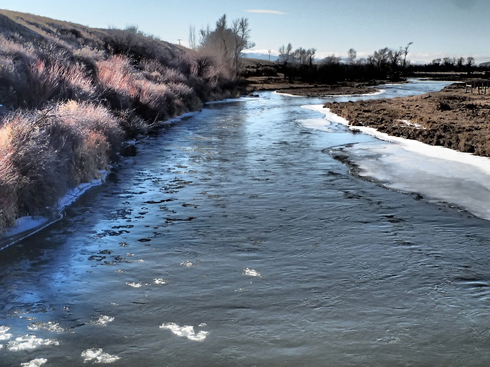
Public fishing access sites serve that upper stretch, but the river below Barrett's runs through extensive private land toward Dillon, with more limited places to get in. Choose your access point before deciding how much of the river you want to fish.
Irrigation changes the lower water, too: diversions at Barrett's can leave the stretch toward Dillon low. Check conditions for the stretch you intend to fish, especially if you're considering water below the diversion dam.
The Gallatin River
The Gallatin River gives anglers on foot plenty of places to start, with roadside access along Highway 191 through much of its upper course. In Gallatin Canyon, the river has pocket water, riffles, and pools. Brown and rainbow trout live in the Gallatin.
The character changes along the river. In Yellowstone National Park, it's a small, meandering mountain stream; downstream of the canyon, it runs through the Gallatin Valley beside agricultural land and cottonwoods.
The Bitterroot River
The Bitterroot River flows north from the meeting of its East and West Forks near Conner toward Missoula. Brown, rainbow, and cutthroat trout live along the main river.
The Bitterroot Changes Downstream

Upper River
Quicker riffles break up the water.
Lower River
Longer, slower stretches can make dry fly presentations demanding.
Float Planning
Check side channels and woody obstacles with a local outfitter.
A calm-looking stretch still needs a checked float route. Pick the access and route before arranging a shuttle.
Its character changes as you travel downstream. The upper river has quicker riffles, while the lower river spreads into long, slower stretches that can make dry fly fishing demanding.
Side channels and woody obstacles are part of the mainstem too. If you plan to float, get local advice on obstructions before choosing your route.
The Blackfoot River
Large boulders, deep pools, and rapids give the Blackfoot River plenty of structure to fish. Brown and rainbow trout live here, and streamers are a useful option.
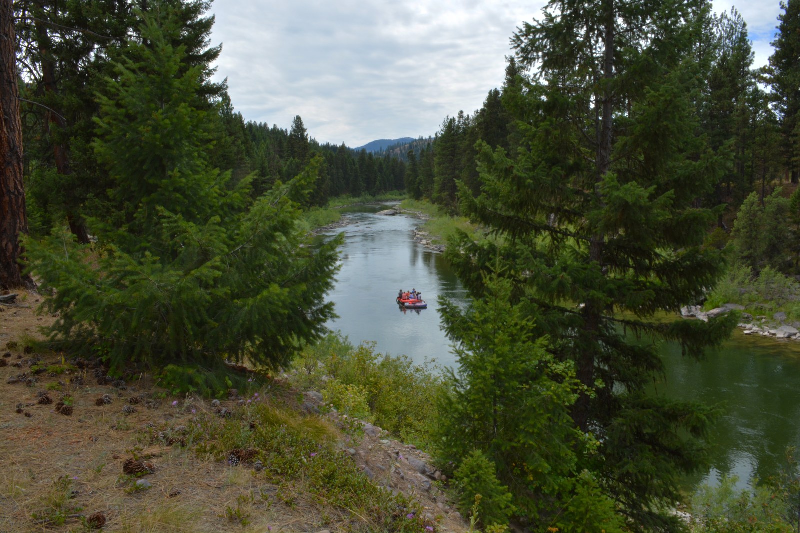
Wading can be difficult on parts of the Blackfoot. Check Montana FWP’s current restrictions before arranging a float.
The Paradise Valley Spring Creeks
Nelson’s, DePuy, and Armstrong are privately managed spring creeks in Paradise Valley, south of Livingston. Check each creek’s booking arrangements before choosing a date.
The clear water makes a slow, careful approach important. Watch how your fly travels over a feeding fish: these trout can demand a drift free of any pull from the line.
Rock Creek
Rock Creek is the Clark Fork tributary near Clinton, southeast of Missoula. Brown, rainbow, and cutthroat trout give you several reasons to fish it, but I’d choose it for a day spent working individual runs on foot. Keep this river separate from the Rock Creek near Red Lodge when searching for directions and fishing reports.

The Rock Creek fishing guide covers the access in more detail. Check the current boat-fishing rules if you plan to float.
The Flathead River
The Flathead needs a more precise plan than its name suggests. Its North, Middle, and South Forks are separate trips, and the main river downstream of their confluences is another choice. Start by deciding which part you want to fish, then use a map for that reach.

For a short visit, I’d settle on one fork rather than try to combine all three. Our Flathead River guide covers the wider fishery; the entries below separate the individual forks.
The Smith River
The Smith’s managed float runs from Camp Baker to Eden Bridge, and a permit is required. This is a trip to arrange before arriving in Montana. Read FWP’s Smith River permit information for the application process, available launches, and current trip requirements.
I’d choose the Smith when the float itself is a large part of the vacation. Arrange the launch, camping, and shuttle together, because a point on the map between Camp Baker and Eden Bridge does not establish a public exit.
The Clark Fork River
I’ve caught brown, rainbow, and cutthroat trout on the Clark Fork, and wading has given me my best results there. Near Missoula, it makes sense to compare this river with the Bitterroot and Blackfoot before deciding where to spend the day.
The Clark Fork covers a long stretch of western Montana. A report for the Missoula area will be more useful for that comparison than a river-wide summary.
The Kootenai River
The Montana Kootenai below Libby Dam is a large river with dam-controlled flows. Riffles, pools, and broad runs give it plenty of variety, but the scale of the water deserves attention before you step in. Check the current release and local conditions when choosing between a float and fishing from shore.
Kootenai Falls interrupts the route, so keep the water above and below it separate when arranging a float. Get advice from an outfitter who works the section you want to fish.
The Jefferson River
The Jefferson begins where the Big Hole and Beaverhead meet near Twin Bridges. Downstream at Three Forks, it joins the Madison and Gallatin to form the Missouri. That puts it in the same trip-planning area as several of the state’s better-known trout rivers.
Irrigation and summer water conditions matter on the Jefferson. Around Twin Bridges, I’d compare its current conditions with the Beaverhead and Big Hole before choosing the day’s water.
The South Fork Of The Flathead
The South Fork begins where Youngs and Danaher creeks meet in the Bob Marshall Wilderness. Its upper wild river corridor and the water nearer Hungry Horse Reservoir require very different plans. Decide which setting you want before estimating the time and equipment the trip needs.
For the Bob Marshall water, allow for the approach and return when deciding how much fishing time you have. Ask the land manager about trail conditions and camping requirements before committing to that trip.
Big Spring Creek
Big Spring Creek runs through Lewistown and offers spring-fed trout water in central Montana. Rainbow and brown trout are the main attraction, and public fishing access sites provide places to start. This is Montana’s Big Spring Creek, so check the town as well as the stream name when looking up directions.
I’d consider it for a trip centered on Lewistown, especially if you prefer a smaller stream. Use the established public fishing access sites.
The Stillwater River
This Stillwater is the Yellowstone tributary in south-central Montana. It has trout water and a much faster character than the name suggests. Its boulders and pocket water deserve a careful look before you decide how to fish a section.
Snowmelt can change this freestone river quickly. I’d compare it with the Yellowstone before choosing the day’s water, and ask a local outfitter about the Stillwater’s boulders and current before arranging a float.
The Boulder River
The Boulder here is the Yellowstone tributary near Big Timber, where my father and I fished on my first Montana trip. An invitation from a landowner made that particular day possible.
Brown and rainbow trout inhabit the river, but extensive private land along the lower Boulder limits where you can get in. Use confirmed access, and check that your directions lead to the Yellowstone tributary: Montana also has a Boulder River in the Jefferson drainage.
The Ruby River
Below Ruby Dam, the river leaves a canyon and meanders into an agricultural valley. The tailwater holds brown trout and has public fishing access sites, but private land surrounds much of the lower river. Mark the access you intend to use before leaving for the day.
The Ruby is a smaller-water option to consider alongside a Madison trip. Distinguish the river above the reservoir from the tailwater, and check the open season for the water you intend to fish, particularly for a fall visit.
The Shields River
The Shields drains the Crazy Mountains toward the Yellowstone near Livingston, and its watershed is an important home for Yellowstone cutthroat trout. Private land and limited public access deserve attention before the fishing plan. Start with the current FWP access map and confirm how to reach the water legally.
Narrow water and brush along the banks can limit casting room. I’d consider the Shields for a smaller-stream day once legal access is arranged.
The Middle Fork Of The Flathead
The Middle Fork is one of the Flathead forks beside Glacier National Park and part of the Wild and Scenic River system. Its name needs to appear in your directions and fishing report. A plan for the main Flathead or another fork can take you to very different water.
For a float, ask about the rapids and boat handling on the intended section. For a day on foot, check trail access. The Wild and Scenic designation does not tell you how difficult either outing will be.
The North Fork Of The Flathead
The North Fork follows the western side of Glacier National Park and belongs to the Wild and Scenic River system. It is a separate choice from the Middle Fork and from the South Fork’s Bob Marshall Wilderness water. Keep those names distinct when arranging a guide or checking access.
Check road conditions and the return drive when planning a North Fork day, along with current restrictions.
The East Gallatin River
The East Gallatin runs through the Gallatin Valley and joins the Gallatin near Manhattan. It is smaller water than the canyon river along Highway 191, with limited public access through the valley. I’d look at it when planning time around Bozeman and wanting a more confined stream to fish.
The narrow channel and banks leave less casting room in places. An East Gallatin report will be more useful here than a general Gallatin report, which may describe the canyon river along Highway 191.
The Musselshell River
For trout on the Musselshell, concentrate your planning on the upper river near Martinsdale and Harlowton. Brown trout inhabit this water, while the river’s character and fishery change farther downstream. A general Musselshell map covers much more water than the trout trip you are probably planning.
Summer irrigation and low flows can affect the upper river. Before making a long drive for the Musselshell, check whether the water is too low or warm for the trip you have in mind.
The Dearborn River
The Dearborn flows into the Missouri, but it gives you a different trip from the tailwater below Holter Dam. The upper water involves hiking, while lower sections have limited access through private land. Some lower reaches are floated when conditions allow.
The lower river’s float window can be short as runoff recedes. Discuss current water and the route with an outfitter before booking, and check the Dearborn’s fishing season and restrictions.
The Sun River
The Sun begins where its North and South Forks meet above Gibson Reservoir. Trout fishing in that upper area involves a different outing from the river downstream through the canyon and prairie. Choose the reach before assuming that a Sun River report applies to your trip.
I’d investigate the upper water for a trip on foot. Farther downstream, dams, whitewater, and irrigation complicate a float, so get current route advice before taking a boat.
Pack For The River You Choose
For a day on foot, sort out the access and walk before filling the gear bag. A plan for the Gallatin Canyon is different from a reserved spring-creek visit or a guided Bighorn float. Start with the equipment you already own and add only what the chosen trip calls for.

Small flies are easier to organize in a dedicated box. The SF Slim Fly Box is one option to compare, and our fly box guide explains other choices. Keep the flies for the intended river together so you can find them without unpacking everything at the bank.
For waders, compare the Frogg Toggs Canyon II with the other options on your list, paying attention to fit. The KastKing Skidaway is one option for sunglasses.
Check Montana fishing regulations and current closures and restrictions for your actual river reach. Confirm private access or spring-creek reservations directly with the landowner or operator.
Montana River Questions
The Gallatin is a useful starting point because Highway 191 follows much of the upper river. Choose a public access for the reach you want, then check current conditions before entering. The Beaverhead and Bighorn also have wading opportunities, but their access and river character differ.
No. Rivers in this directory have opportunities for fishing on foot, including the Gallatin. A boat can help reach water between established access points on rivers such as the Bighorn. Choose the reach and legal access first, then decide how to fish it.
Nelson’s, DePuy, and Armstrong are privately managed spring creeks south of Livingston. Check the operator’s booking and access arrangements before visiting. Do not assume a public fishing access map gives permission to enter those properties.
A Smith River float requires a permit and a plan for the managed route from Camp Baker to Eden Bridge. The Paradise Valley spring creeks need arrangements with their operators, and wilderness trips such as the upper South Fork Flathead need a confirmed approach and return plan.
Choose A Reach You Can Spend Time Fishing
With one day in Montana, I’d choose a river I can reach and fish without spending half the day moving between options. The Gallatin is high on my list for a day on foot. A Bighorn float or a Paradise Valley spring-creek reservation calls for a different plan, and I’d arrange those details before arriving.
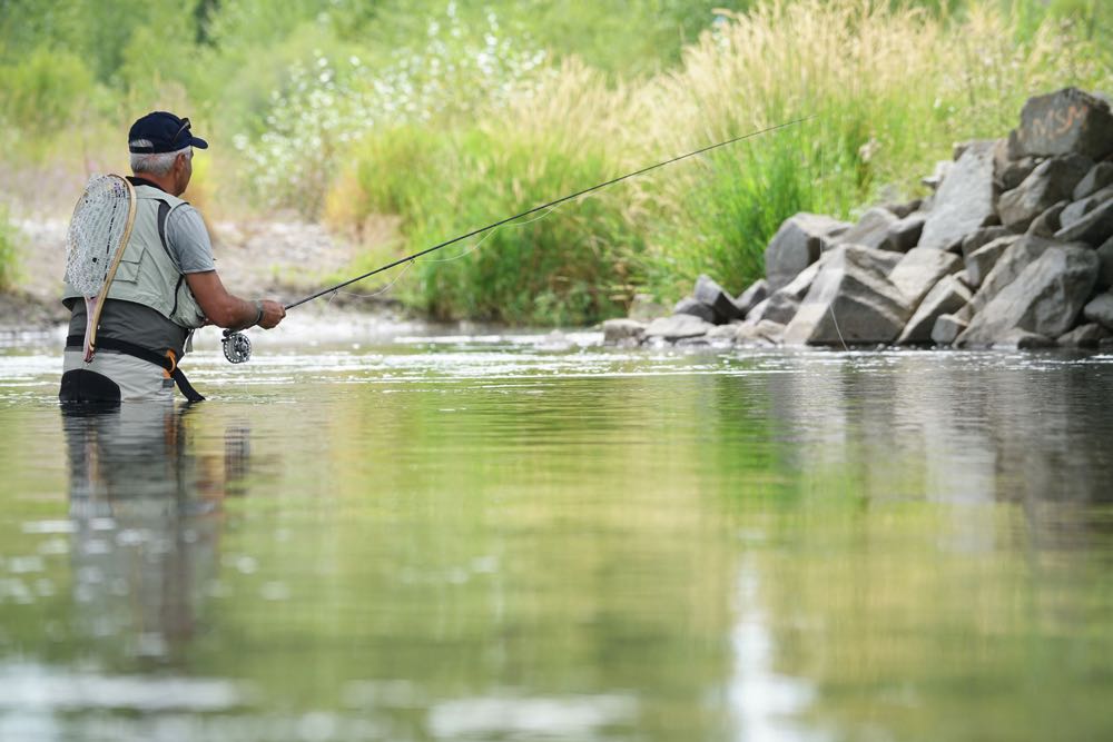
My first Boulder River trip depended on a landowner’s invitation. Confirm your own access before setting out, then leave enough time to fish the water you’ve chosen. The individual river guides linked above will help with the details.
Our Montana fishing overview covers the wider trip. For another state, return to the United States river guide.
Save This Fishing Guide For Later


Amazon and the Amazon logo are trademarks of Amazon.com, Inc, or its affiliates.
As a part of the Amazon Associates Program and other affiliate programs, Into Fly Fishing® may receive a comission if you order products through links on this website.